
Moderate
Brahmatal Trek
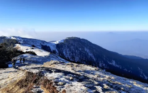
A winter wonderland trek to a sacred frozen lake, framed by uninterrupted views of Mt. Trishul and Nanda…
The Panchachuli massif — five distinct summits arranged in a row along the India-Nepal-Tibet border region of eastern Kumaon — takes its name from local legend that these peaks were the five cooking hearths (chulis) used by the Pandava brothers to prepare their final meal before ascending to heaven at the end of the Mahabharata. Reaching their base camp is one of the more remote and least-trodden treks in the Indian Himalaya, passing through valleys that see a fraction of the traffic found on more established Kumaon and Garhwal routes.
The trek begins at Munsiyari, a small Kumaoni town that serves as the gateway to the Johar Valley and has, for over a century, been a departure point for expeditions and trans-Himalayan trade routes into Tibet. From here the trail follows the Gori Ganga river, passing through Lilam and Bugdiyar, villages whose Bhotia community heritage reflects centuries of cross-border trade with Tibet before the border closed following events in the mid-twentieth century.
Beyond Bugdiyar, the trail enters increasingly wild terrain, climbing through Martoli — once a thriving Bhotia trading village, now largely abandoned as trade routes shifted and residents moved to lower altitudes, its crumbling stone houses giving the settlement an almost ghost-town quality that stands in striking contrast to the still-inhabited villages lower in the valley. Nearby Milam, the region’s largest such village, retains a small seasonal population that returns each summer to graze livestock and maintain ancestral homes.
From Martoli, the trail climbs toward Base Camp, a high alpine meadow positioned to give an almost complete view of all five Panchachuli summits arranged along the ridge — a genuinely rare panorama, since most Himalayan viewpoints reveal peaks in isolation rather than as a coherent connected range. The peaks themselves, ranging from roughly 6,300 to 6,900 metres, remain unclimbed on several of their five summits even today, adding a sense of genuine remoteness that’s increasingly hard to find on more popular Himalayan trails.
The valley’s isolation brings noticeably different wildlife encounters than more frequented treks — blue sheep are common at higher elevations, and the region falls within the broader range still occasionally used by snow leopard, tracked here by the forest department through camera-trap surveys rather than tourist sightings. Villagers in Martoli and Milam, largely dependent on summer grazing and small-scale trade, offer a genuine and unhurried welcome to the relatively few trekking groups that make it this far.
Because of the trek’s length, remoteness, and the total absence of any quick evacuation route for several days around base camp, this is recommended only for trekkers with solid prior high-altitude experience and realistic fitness expectations. Inner Line Permits are mandatory given the proximity to the international border, and operators typically arrange these well in advance through the district administration in Pithoragarh.
For those willing to commit the time and effort, Panchachuli Base Camp offers something increasingly rare in Indian trekking — a genuinely remote, high-altitude wilderness experience largely free of the crowds that now define many of the country’s more famous Himalayan routes.
Arrive at Munsiyari (2,200m). Permit processing and briefing.
Drive to the road head and trek along the Gori Ganga river to Lilam.
Continue upstream through forest to Bugdiyar village.
Trek to the largely abandoned Bhotia trading village of Martoli.
Climb to the high meadow of Panchachuli Base Camp, with views of all five summits.
Rest and exploration day around base camp; optional visit towards Milam village.
Begin the return trek back to Martoli.
Continue the descent back through the Gori Ganga valley.
Final descent to Lilam and drive back to Munsiyari.
Onward journey from Munsiyari.
A winter wonderland trek to a sacred frozen lake, framed by uninterrupted views of Mt. Trishul and Nanda…
The 'Serpent's Peak' is Uttarakhand's most popular weekend trek — a short, forested climb to a summit ridge…
Often called the 'Mini Switzerland of India', this short trek combines the high-altitude Tungnath temple with a sunrise…