
Easy
Dayara Bugyal Trek
A short winter classic to one of Uttarakhand's largest and most pristine high-altitude meadows, framed by Bandarpoonch and…
Next Departure
12/10/2026
14 seats left
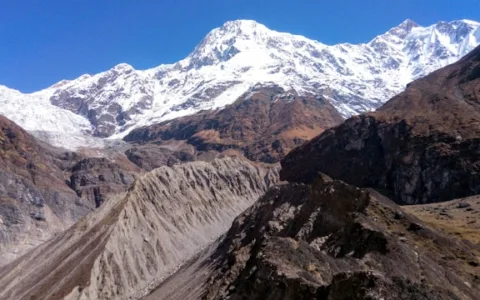
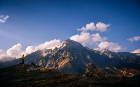
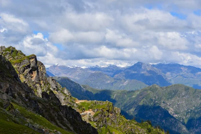
Few treks in the Indian Himalaya pack in as much visual variety per kilometre as the Rupin Pass crossing. In eight days the trail moves from terraced farmland to hanging villages built almost vertically into cliff faces, through a birch and maple forest that turns fire-orange in October, past a genuinely thunderous waterfall, and finally up a snow wall so steep that trekkers ascend it in a slow, careful zigzag with ice axes for support. It is, deservedly, rated among the more difficult treks in the region — and among the most rewarding.
The trek starts at Dhaula in Uttarakhand and finishes at Sangla in Himachal Pradesh’s Kinnaur district, crossing the state border via the Rupin Pass itself at 4,650 metres. Along the way it passes through Jhaka, a village whose wooden houses are stacked so tightly against a nearly sheer hillside that first-time visitors often assume the settlement must be inaccessible — until they notice the narrow staircase-like paths connecting every doorway. Villagers here have farmed these near-vertical terraces for generations, growing rajma and potatoes on plots that would look, from a distance, more like decoration than agriculture.
A short distance beyond Jhaka lies the trek’s most photographed feature: the Rupin waterfall, a broad curtain of water crashing roughly 200 feet down a rock face directly beside the trail. Trekkers walk close enough to feel the spray, and the roar of the falls is audible for a considerable distance before the waterfall itself comes into view around a bend in the valley. From here the trail climbs into increasingly alpine terrain, passing the meadow of Ronti Gad and the high camp at Upper Waterfall Camp, from where the pass crossing begins before dawn.
The crossing itself is the trek’s defining challenge — a near-vertical snowfield that must be ascended in a tight switchback pattern, often in temperatures well below freezing with a bitter early-morning wind. Groups typically rope up in sections and move one at a time under close guide supervision; this is not a stretch of trail where independent trekking is advisable, and every reputable operator brings a dedicated technical guide for this specific section regardless of season. The reward at the top is immediate and total: a 360-degree view spanning the Har Ki Dun valley behind and the Sangla Valley of Kinnaur ahead, with the Kinner Kailash range visible on a clear day.
Descending into Himachal, the character of the trek shifts again — from Garhwali wooden architecture to the distinctly Kinnauri slate-roofed houses of Sangla Valley, apple orchards replacing barley terraces, and a noticeably milder microclimate as the trail drops below 3,000 metres. The final stretch into Sangla town, walking beside the Baspa river, offers a gentle, almost meditative close to a trek that spent much of its middle section in genuinely serious high-altitude terrain.
Rupin Pass is best attempted only by trekkers with prior high-altitude experience, ideally including at least one previous trek above 4,000m, given the technical demands of the pass crossing and the exposure to cold at high camp.
Drive from Dehradun to Dhaula (1,700m). Trek briefing and gear check.
Trek through terraced fields and forest to the village of Sewa.
Climb to the dramatic hanging village of Jhaka (2,700m), built into a cliff face.
Pass the thundering Rupin waterfall en route to the alpine meadow campsite of Saruwas Thatch.
Continue climbing through increasingly alpine terrain to the high camp below the pass.
Pre-dawn start for the pass crossing (4,650m) via the steep snow wall. Descend into Himachal to Ronti Gad.
Descend through changing terrain and architecture into the Baspa Valley, arriving at Sangla.
Drive from Sangla towards Shimla / Chandigarh for onward journey.
A short winter classic to one of Uttarakhand's largest and most pristine high-altitude meadows, framed by Bandarpoonch and…
One of the oldest recorded trekking routes in the Kumaon Himalaya, following the Pindar river through traditional villages…
One of the most demanding classical treks in the Indian Himalaya — a glacier-crossing expedition linking the sacred…