
Moderate

Kasol Kheerganga Trek
The Unpredicted – Kasol Kheerganga Trek Embark on a journey of untamed beauty and unexpected adventures with the…
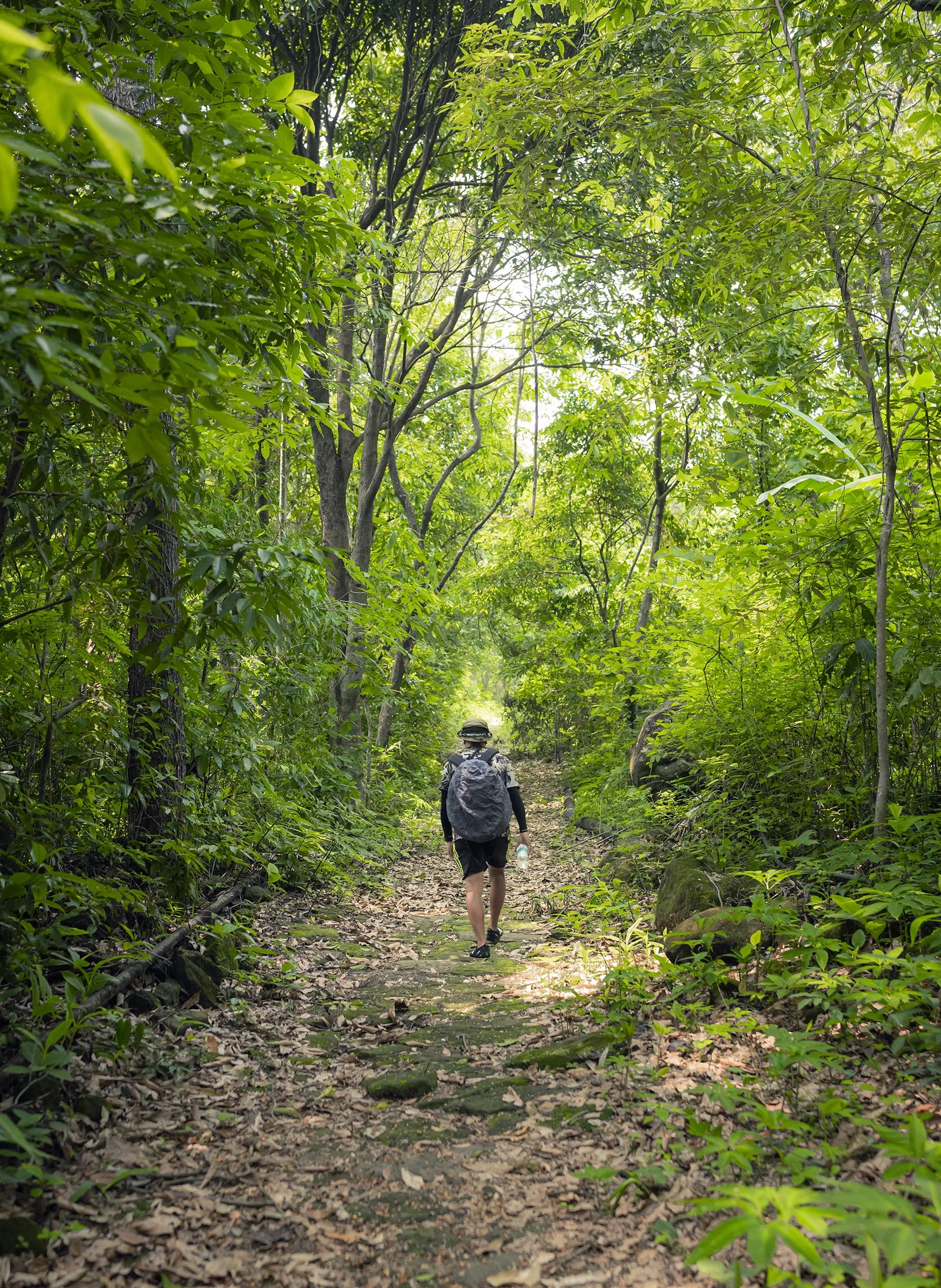
The David Scott Trail Trek is a 2-day, 1-night easy trek in Meghalaya priced from Rs 3,800 per person, walking the 16 km stone-paved trade route from Mawphlang to Lad Mawphlang through the East Khasi Hills.
The David Scott Trail is an old bridle path across the East Khasi Hills, and it is the most civilised long walk in the northeast. The surface is stone flag for much of its length, laid by hand, and it runs 16 km from the edge of Mawphlang village to Lad Mawphlang on the Shillong to Cherrapunji road. It is named after David Scott, the British administrator who had the route improved in the early nineteenth century, but the path itself is far older than he was.
It was part of a network of foot and horse tracks that the Khasi used to move between the hills and the plains, and which later carried trade between Guwahati, Shillong, Cherrapunji and Sylhet. In its full extent the system ran around 100 km. What you walk today is the best-preserved 16 km of it, and you can still see why it was routed the way it was: it takes the gentlest line between two points that are 1,400 m and 1,785 m above the sea.
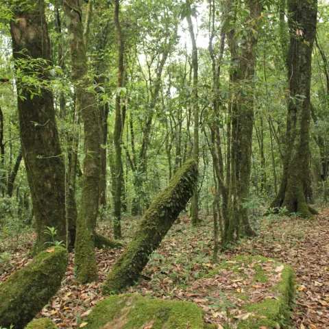
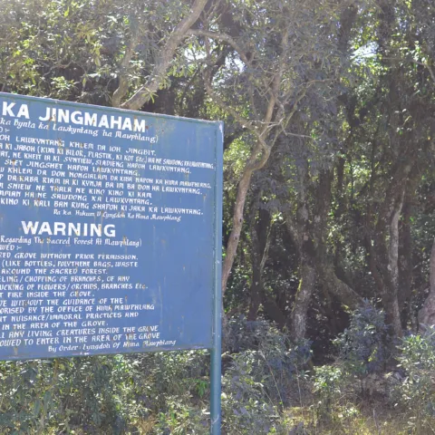
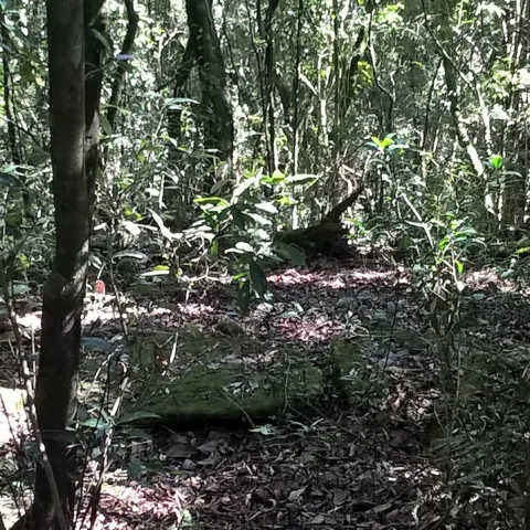
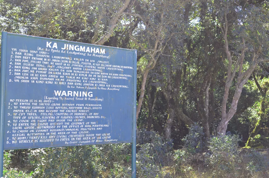
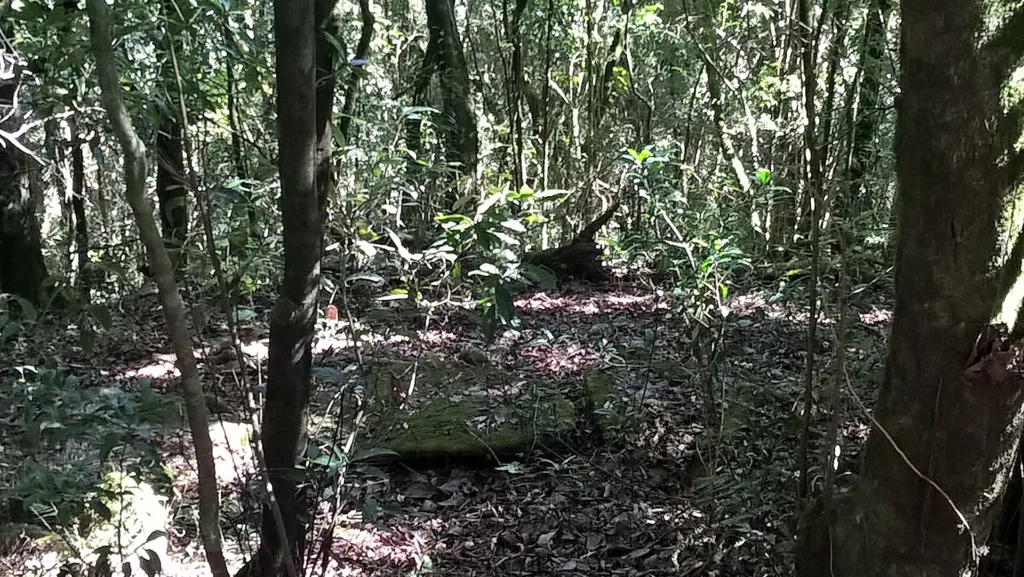
Mawphlang is the other reason to come. The village holds one of the best-known Khasi sacred groves, a patch of old-growth forest protected by clan and by the Lyngdoh, where nothing may be removed, not a leaf and not a stone. The grove is full of monoliths, some of them several metres tall, and the forest inside it looks nothing like the forest outside. A local custodian walks you through and explains what the stones are for, which is not something you can read off a signboard.
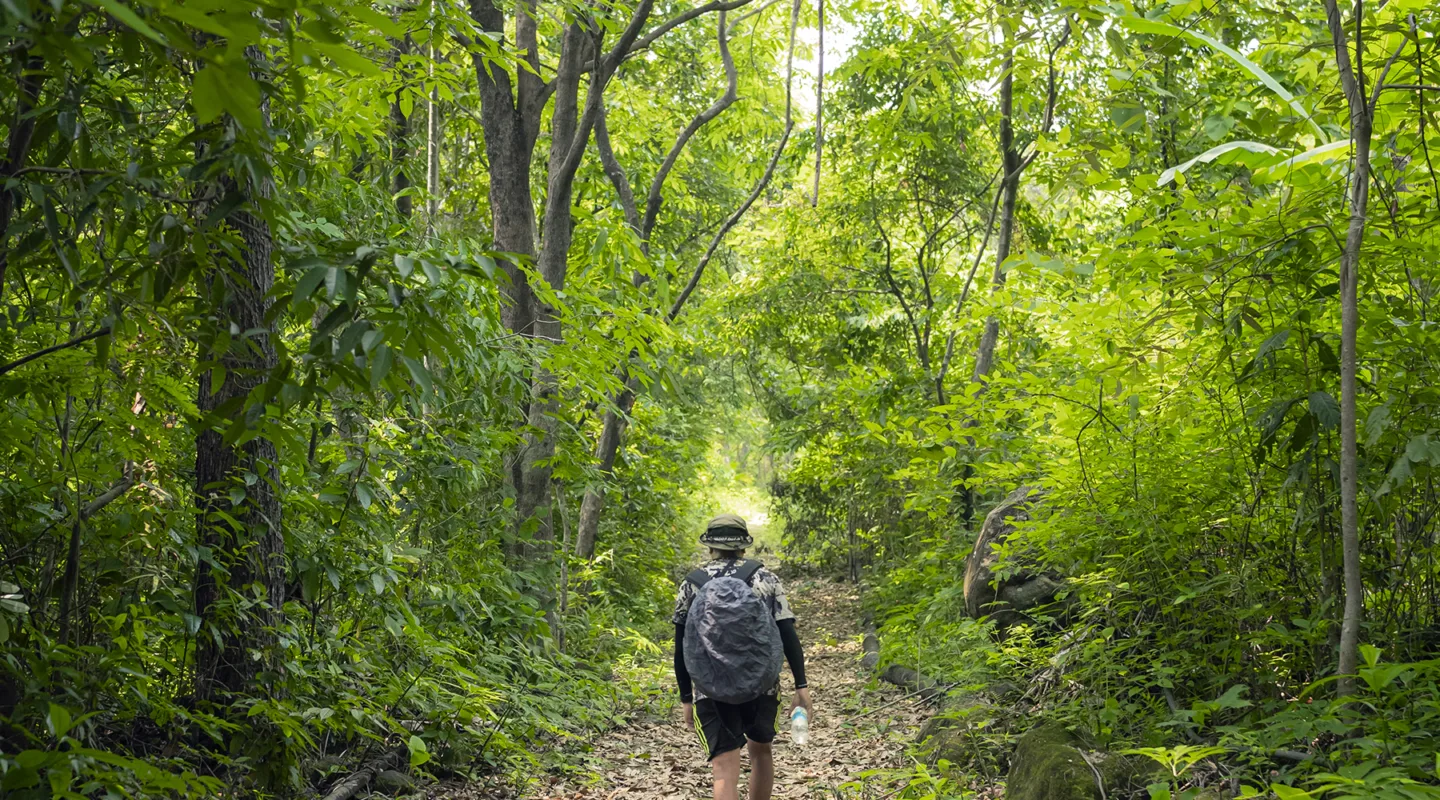
The walking itself is gentle: pine and oak, open meadows, a couple of stream crossings and two old bridges, with the hills opening out on either side. For the wider region, see our Meghalaya destination hub and the full destination index.
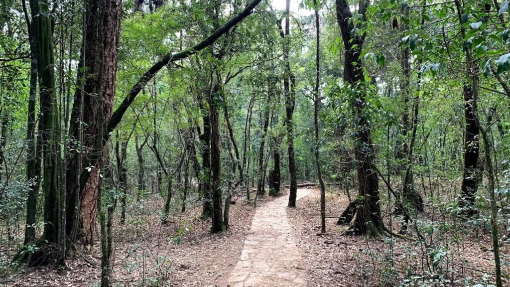
The trail begins at a small ticket kiosk and trailhead signboard at the Mawphlang village entrance, a few minutes’ walk from the sacred grove. The first section is the most photographed: a stone-paved path running between low stone walls with pine on both sides, dropping gently into the valley of the Umiam.
The middle section crosses open meadow and then descends more steeply to a stream, where an old arch bridge carries the path over. This is the low point of the walk and the only place where the going is genuinely rough underfoot after rain. From there the path climbs again through forest, past the monoliths at Mawnguid Briew, and narrows as it approaches the far end.
The last 4 km run along the ridge to Lad Mawphlang, where the trail meets the Shillong to Cherrapunji road at about 1,785 m. The whole 16 km takes 5 to 6 hours at a walking pace with stops. We split it across two days so that the sacred grove and the villages get proper time rather than being rushed through on the way to a finish line.
The David Scott Trail suits anyone who wants a long walk without a climb, including families with teenagers, older trekkers and people who have never done a multi-day trek before. There is no exposure, no scrambling and no altitude. The 16 km is the only real demand, and splitting it over two days brings the daily distance down to about 8 km. If you are in Shillong for a few days and want one proper walk rather than a viewpoint, this is the one.
Rs 3,800 covers the return road transfer from Shillong, one night in a village homestay, all meals, the sacred grove entry and custodian fee, the trail fee and a local guide. It does not cover the drive on to Cherrapunji if you are continuing south.
October to April. The path is stone and drains well, but the stream crossing and the meadow sections turn to mud in the monsoon, and the leeches are active from June to September. November to February is the driest and clearest window, with cool walking and good views from the ridge. March and April are warmer and the rhododendron on the upper sections is out.
It is an easy trek. The trail runs between about 1,400 m at Mawphlang and 1,785 m at Lad Mawphlang, with one descent to a stream and one climb back out. There is no exposure and no scrambling. The only real demand is the 16 km, which we split into two days of about 8 km each.
You should be able to walk 8 km on uneven ground in a day, which most people can. If you can manage a long city walk without stopping, you can do this. The stone surface is hard underfoot, so shoes with some cushioning matter more than grip.
Yes. Solo travellers join a group of up to 14 and share a twin room at the homestay. The Khasi Hills trails are safe to walk, but the route crosses village land and a guide is both required by the community and genuinely useful for the stream crossing and the turnings. A single supplement is available.
One night in a Khasi village homestay on twin sharing, with basic but clean rooms, shared bathrooms and home-cooked food. There is no hotel on this route and no camping. The homestay is the point rather than a compromise: you eat what the family eats and you see the village at the hour when it is actually alive.
Mawphlang and Lad Mawphlang both have 4G on most networks. The middle of the trail, in the stream valley and the forest sections, has no signal at all. Expect four to five hours offline on each day, and download your maps before leaving Shillong.
Start with the Meghalaya destination hub, browse the full destination index and our activities pages, then compare this route with the rest of our trekking collection. The nearest destination guide is Mawphlang.
Photographs on this page are licensed from Wikimedia Commons. Full attribution and licence for each image is listed below.
The Unpredicted – Kasol Kheerganga Trek Embark on a journey of untamed beauty and unexpected adventures with the…
Kumara Parvatha Trek : A Trekker's Guide to Blissful Adventure Calling all adventure enthusiasts! Get ready to experience…
Hampta Valley Snow Trek Winter transforms Hampta Valley into a breathtaking wonderland, where nature's beauty is on full…

