
Moderate

Kareri Lake Trek
Kareri Lake Trek: A Himalayan Odyssey to Alpine Bliss Nestled in the Dhauladhar Range of the Indian Himalayas,…
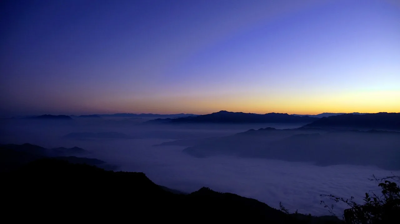
The Phawngpui Blue Mountain Trek is a 3-day, 2-night moderate trek in Mizoram priced from Rs 6,800 per person, climbing from Sangau through Phawngpui National Park to the 2,157 m summit, the highest point in the state.
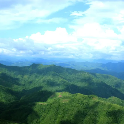
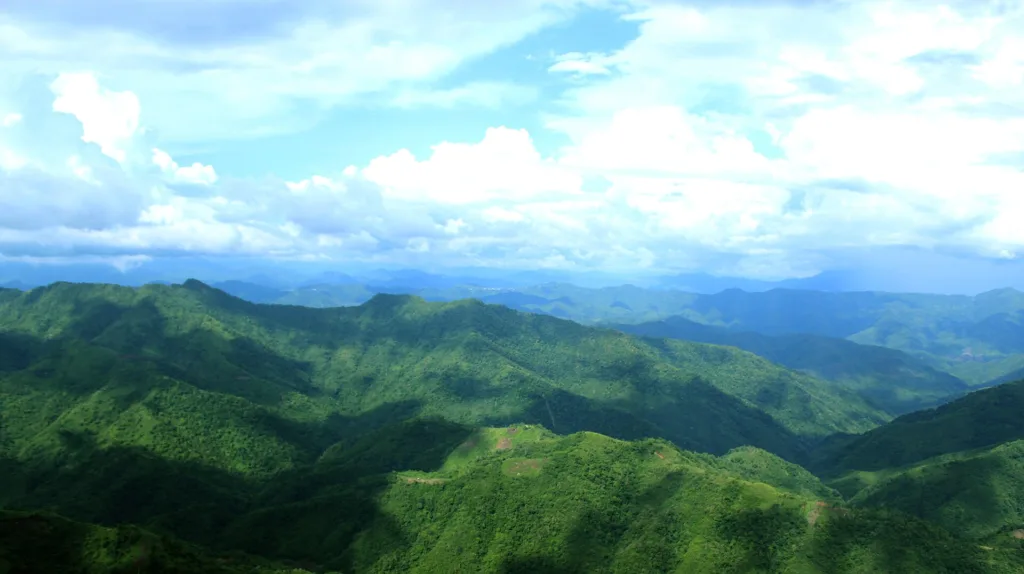
Phawngpui is the highest mountain in Mizoram and the highest point in the whole Lushai Hills, at 2,157 m. It sits in Lawngtlai district in the far south-east of the state, close enough to the Myanmar border that the ridge you are standing on continues into another country. The name comes from Lai words: phawng for meadow, pui for great. Great meadow. From a distance the slopes carry a blue cast in certain light, which is where the English name comes from.
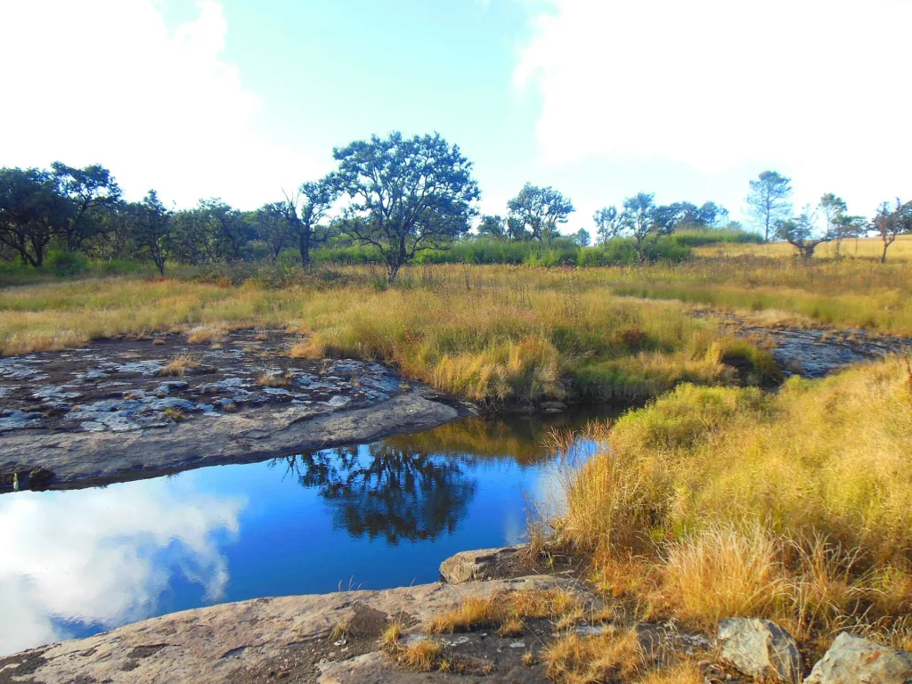
The mountain is the centre of Phawngpui National Park, about 50 square kilometres of mountain and reserve forest. The ridge runs roughly north to south for nearly 10 km, rising to the highest point near its southern end, and the top holds a level area of around 2 square kilometres. That flat summit is unusual and it is what makes the place feel less like a peak and more like a high, empty plateau with edges.
The western side is the dramatic part. A semi-circular line of cliffs called Thlazuang Kham falls away sharply, and mountain goats live on the rock faces there. Local belief holds that the cliffs are inhabited by spirits, which is the kind of thing that sounds like folklore until you are standing at the edge in wind with cloud coming up the face. The upper slopes are montane subtropical forest, oak and rhododendron and bamboo, broken by grassy glades where the walking opens out.
The park is also a birding destination of real standing. Blyth’s tragopan, Mrs Hume’s pheasant and the grey sibia are all recorded here, along with a long list of babblers and sunbirds that keeps ornithologists coming back. For the wider region, see our Mizoram destination hub and the full destination index.
Sangau is the gateway to the park and the last place with anything resembling facilities. From Sangau a motorable track, not a black-top road, runs to Thaltlang, the last village before the walking starts. We use a light vehicle for that stretch because the track is rough and a large bus will not make it.
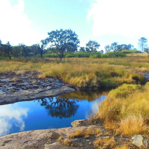
From Thaltlang the trail climbs through forest and then open grassland to the summit plateau. The gradient is gentle for most of the way, which is the surprise: this is not a steep mountain. What makes it feel long is the distance and the sun. The upper section is completely exposed, and in the middle of the day the grass and rock throw the heat back at you.
The climb to the summit takes 3 to 5 hours from the base depending on where you start and how often you stop. We camp on the plateau, which is permitted inside the park with the forest department’s approval, and use the second day for the summit, the Thlazuang Kham cliff line and the viewpoints. The descent retraces the route to Thaltlang and Sangau.
Phawngpui suits trekkers who have already done the popular Himalayan routes and want something genuinely remote, and birders who are willing to walk for what they see. The gradient is easy to moderate and there is no technical ground, but the logistics are not easy: this is a long way from anywhere, the road in is rough, and the park is closed to visitors for part of the year. If you want a mountain with a cafe at the top, this is not it. If you want a plateau in a corner of India that almost nobody visits, it is exactly that.
Rs 6,800 covers the road journey from Aizawl, two nights (one in Sangau, one camping on the plateau), all meals, the national park entry and camping permits, a local guide and the light vehicle to Thaltlang. It does not cover the flight to Aizawl or the Inner Line Permit.
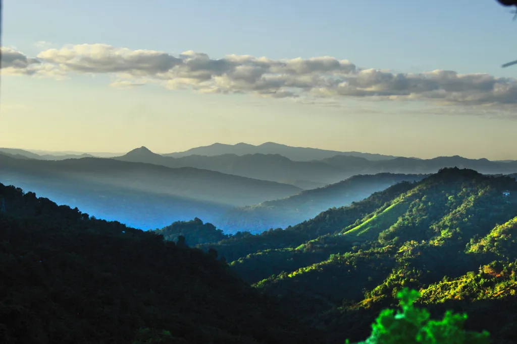
October to March. The park is at its clearest in November and December, when the air is dry and the view from the plateau runs a long way into Myanmar. January and February are cold on the summit, with night temperatures close to freezing. The monsoon from May to September brings heavy rain, leeches and cloud that closes the view, and the park is closed to visitors for part of that period.
The summit is 2,157 m, the highest point in Mizoram. At this height altitude sickness is very unlikely, and the climb is gradual enough that most people feel nothing beyond breathlessness on the steeper sections. The cold and the exposure on the plateau are the real considerations, not the altitude.
You should manage 4 to 5 hours of walking with a pack on the climb day, and the same on the descent, over gentle but long gradients. There is no scrambling and no technical ground. The sun and the open grassland make it feel harder than the numbers suggest, so carry more water than you think you need.
Yes, but not independently. Solo travellers join a group of up to 10. Phawngpui National Park requires permits and a local guide, and the road to Thaltlang is not something to attempt in your own vehicle. A single supplement is available for the Sangau night.
One night in basic accommodation at Sangau, with simple rooms and shared bathrooms, and one night camping on the summit plateau in tents with sleeping mats. There is no hotel or homestay on the mountain. The camp crew cooks, and washing is not really an option on the plateau.
Very little. Sangau has patchy signal on some networks, and there is nothing reliable beyond Thaltlang. The plateau has no coverage at all. Plan on being unreachable for two days, and tell someone at home before you leave Aizawl.
Start with the Mizoram destination hub, browse the full destination index and our activities pages, then compare this route with the rest of our trekking collection. The nearest destination guide is Sangau.
Photographs on this page are licensed from Wikimedia Commons. Full attribution and licence for each image is listed below.
Kareri Lake Trek: A Himalayan Odyssey to Alpine Bliss Nestled in the Dhauladhar Range of the Indian Himalayas,…
Overview of the Namdapha Rainforest Trek The Namdapha Rainforest Trek is a 5-day, 4-night moderate trek in Arunachal…
Overview of the Gokarna Weekend Trip from Bangalore Gokarna Weekend Trip from Bangalore runs 1N/2D from Bangalore, graded…