
Moderate

Kumara Parvatha Trek
Kumara Parvatha Trek : A Trekker's Guide to Blissful Adventure Calling all adventure enthusiasts! Get ready to experience…

The Anamudi Peak Trek runs 3 days and 2 nights from Kochi, graded Moderate, from Rs 6,800 per person. Route: Kochi – Munnar – Rajamala – Eravikulam – Anamudi base – Munnar – Kochi.
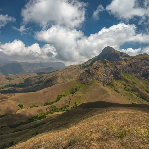
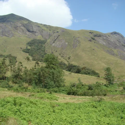
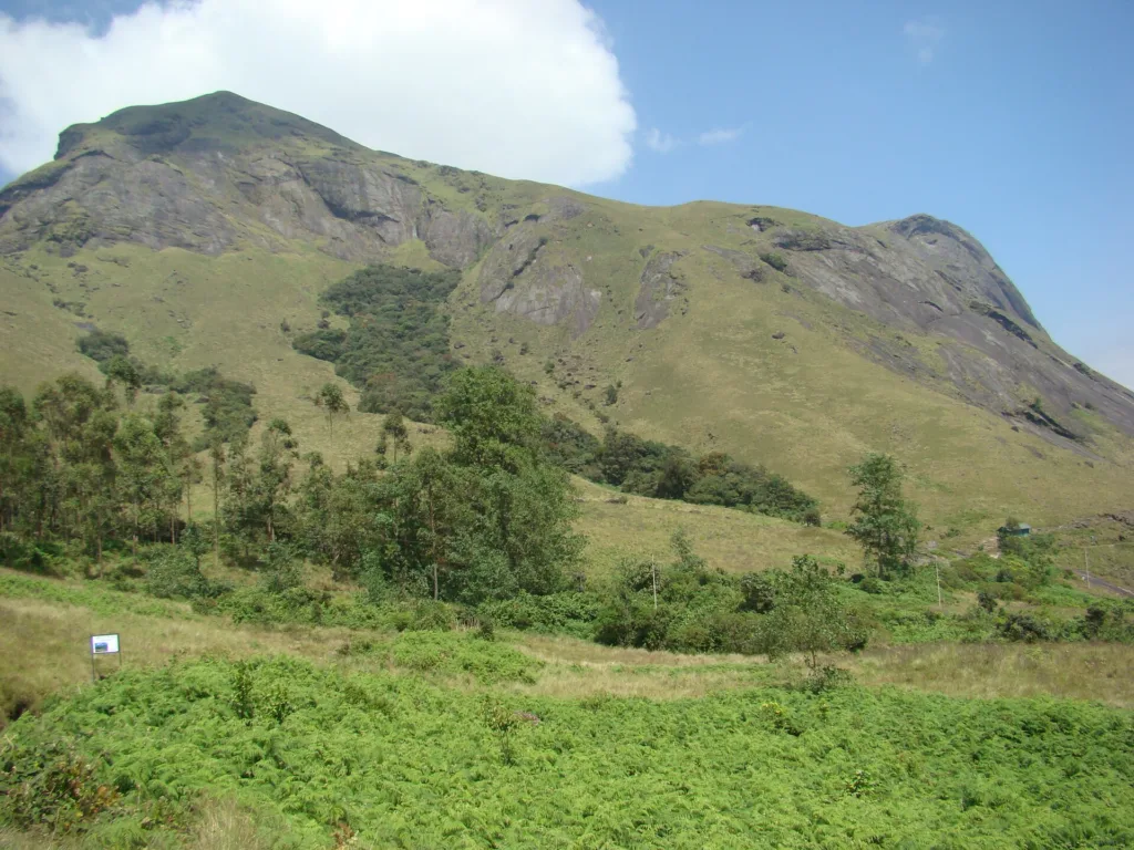
Anamudi is the highest point in India south of the Himalaya, at 2,695 metres, and it stands in the Eravikulam National Park above Munnar in the Idukki district of Kerala. The name means ‘elephant’s forehead’ in Malayalam, and from the Munnar side the massif does have that shape: a broad grassy dome with a long ridge running off it to the south.
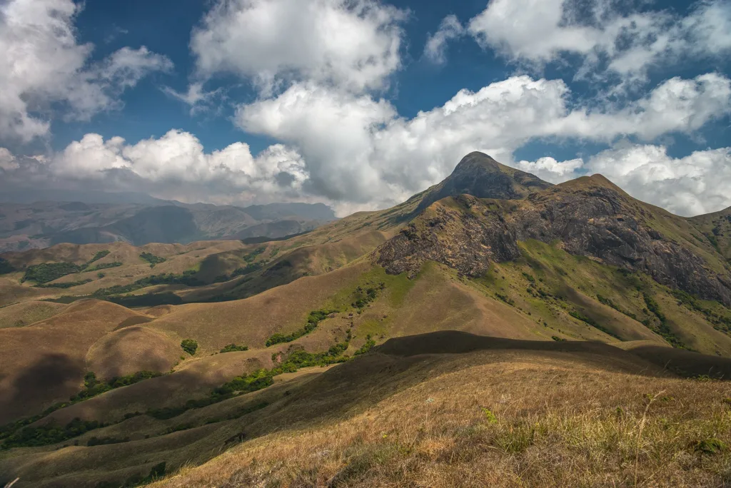
The mountain is the centre of the range that holds most of South India’s remaining shola-grassland mosaic, a habitat that exists only above roughly 1,800 metres in the Western Ghats and nowhere else on earth. The grassland is not natural lawn: it is a climax community maintained by frost, grazing and the occasional fire, and the shola forest fills the folds and valleys where the frost cannot reach. Eravikulam is also the last stronghold of the Nilgiri tahr, a mountain goat that was down to a few hundred animals in the twentieth century and has recovered to a few thousand, mostly inside this park.
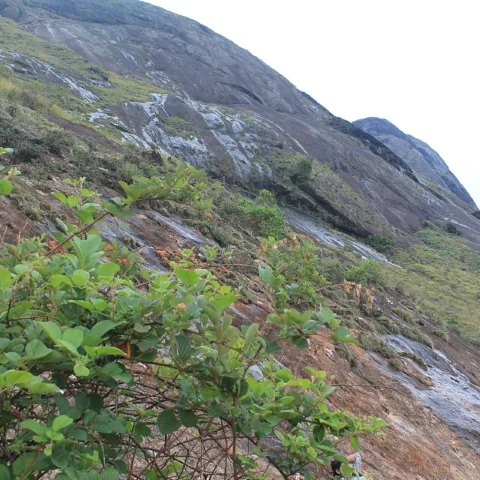
The trek itself is short but not trivial. The approach from Rajamala climbs through grassland with almost no shade, and the last section to the summit is steep and often in cloud. Because the summit sits inside a national park and inside the core zone of a tahr reserve, access is controlled: trekking beyond the tourism zone requires a Forest Department permit and a departmental guide, and the park closes the upper area during the tahr calving season, which usually runs from about January to March. Any operator who tells you they can walk you to the summit in that window is not being straight with you.
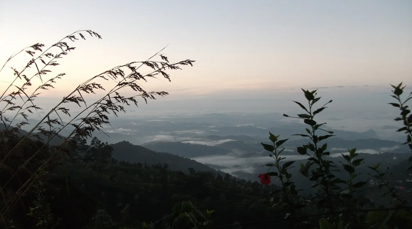
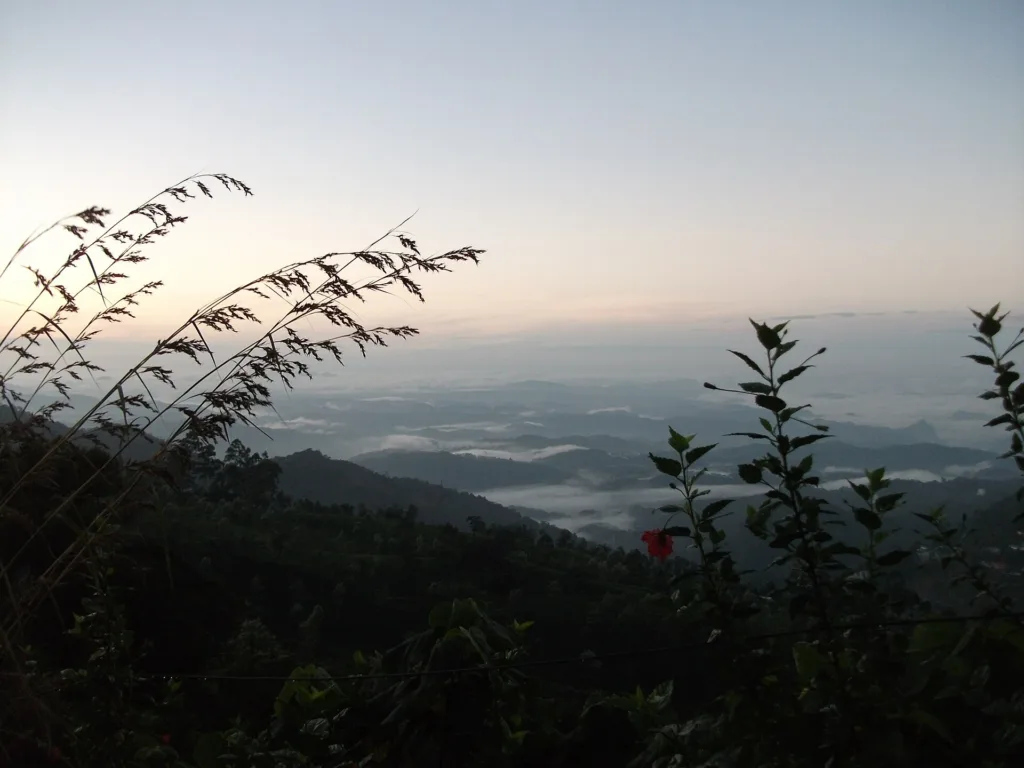
What you get for the effort is a view that takes in the whole High Ranges: the Munnar tea country below, the Kundala and Mattupetty valleys, and on a clear morning the Palani Hills and the distant blue of the Tamil Nadu plains. It is one of the few places in South India where you can stand above the cloud line.
Day one is the drive from Kochi up to Munnar, roughly four to five hours through Aluva, Muvattupuzha and the tea country around Adimali, with the last hour climbing through plantations. The afternoon is a short acclimatisation walk around the tea estates and a briefing. Day two starts early with a drive to Rajamala, the tourism zone of Eravikulam National Park, and then the climb: a steady three to four hours up through open grassland, past the tahr viewing area, onto the ridge below the summit. The final pull is steep and loose, and on a wet day it is slippery enough to need care. The descent returns the same way to Rajamala and then to Munnar for the night. Day three is a slow morning at the Mattupetty dam and the Kundala tea fields, then the drive back to Kochi.
The Anamudi trek suits walkers who want a real summit without a multi-day expedition. The daily walking is three to five hours, the altitude is modest by Himalayan standards, and the terrain is grass, rock and a little scree rather than snow or glacier. It is a good first summit for someone who is reasonably active, and a good short trip for a family with older children. It is not suitable for anyone who cannot manage a sustained climb in direct sun, and the park’s seasonal closure means the summit is not always available.
The price of Rs 6,800 per person covers 2 nights accommodation in munnar on twin sharing, and the rest of what is listed below. GST at 5%, insurance, and anything not listed under inclusions are extra.
September to March is the window, with the clearest skies and the most stable weather. The park closes the upper zone during the Nilgiri tahr calving season, which usually falls between January and March, so the summit may not be available in those months even though the weather is good. June to August is the monsoon, when the grassland is green but the trail is wet and the views are usually lost in cloud.
It is graded Moderate. The summit is 2,695 metres, the highest point in South India, and the climb from Rajamala is about 700 metres of ascent over three to four hours. There is no technical climbing, but the final section is steep and the grassland offers no shade. Most reasonably active walkers manage it; anyone with heart or breathing conditions should check with a doctor first.
Yes. The summit lies inside Eravikulam National Park, and walking beyond the tourism zone requires a Forest Department trekking permit and a departmental guide. The permit is included in the price and arranged by the operator. The park can also close the upper area at short notice for tahr calving or for weather, and in that case the itinerary is adjusted to the lower trails.
Yes. Groups are small, capped at 12, and the trip is run on fixed departures so you do not need to bring a partner. The two nights in Munnar are on twin sharing, and solo travellers are paired with another traveller of the same gender unless a single supplement is booked.
Two nights in a hotel in Munnar on twin sharing, with attached bathrooms and hot water. This is a hotel-based trip rather than a camping one, which is one of the reasons it works as a short break. There is no camping on the mountain.
Nilgiri tahr are commonly seen on the grassland around Rajamala and the tourism zone, particularly in the early morning, and the park is the species’ main stronghold. Mobile coverage in Munnar town is good on all major networks, but it weakens on the climb and is unreliable on the upper ridge. Download what you need before leaving Munnar.
Explore related pages: All treks in Kerala · Browse all destinations · All activities · Munnar destination guide · Trekking in India.
Photo credits. Photographs on this page are from Wikimedia Commons and are used under the licences listed below. Each image is credited to its photographer; the licence terms apply to reuse of the image.

Kumara Parvatha Trek : A Trekker's Guide to Blissful Adventure Calling all adventure enthusiasts! Get ready to experience…
An Unforgettable Adventure in the Dhauladhar Range If you're searching for a short yet thrilling Himalayan trek, the…
Moon Peak Expedition – Conquer the Heights of the Dhauladhar Range The Moon Peak Expedition is a thrilling…