
Difficult
Gaumukh Tapovan Trek
A pilgrimage-turned-trek to the source of the Ganga at the snout of the Gangotri Glacier, ending on a…

The Roopkund Trek runs 8 days and 7 nights from Kathgodam, graded Difficult, from Rs 14,500 per person. Route: Kathgodam – Lohajung – Wan – Bedni Bugyal – Bhagwabasa – Roopkund – Lohajung – Kathgodam.
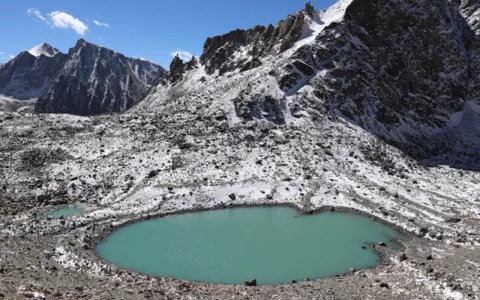
Roopkund sits at 5,029 metres in the Chamoli district of Uttarakhand, in a shallow bowl below the Trisul massif and the ridge that carries Nanda Ghunti. The lake itself is small and, for most of the year, frozen or half-frozen. What makes it famous is what lies in and around the water: several hundred human skeletons, many still with hair and preserved tissue attached, scattered across the shoreline and the bed of the lake.
For a long time the story told to trekkers was that these were the remains of an army, or of pilgrims caught in a hailstorm. Scientific dating published in 2019 complicated that considerably. The bones fall into two distinct genetic groups and two distinct periods, roughly the ninth century and again around the seventeenth, which rules out a single catastrophic event. The current reading is that this is a site where several separate groups died over centuries, and the lake’s cold, slightly alkaline water and the short growing season preserved what a warmer place would have destroyed.
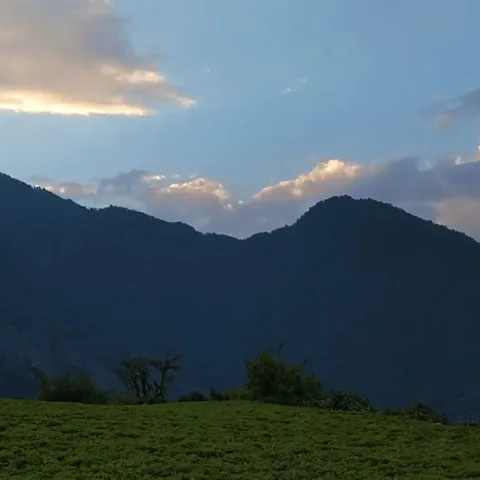
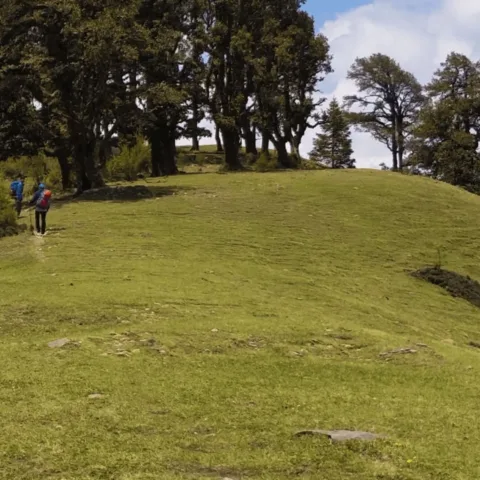
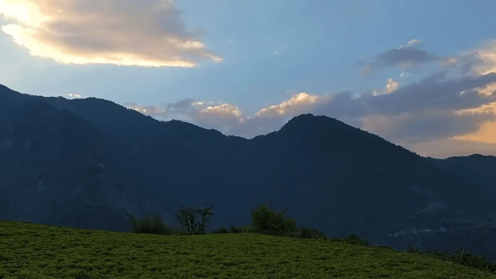
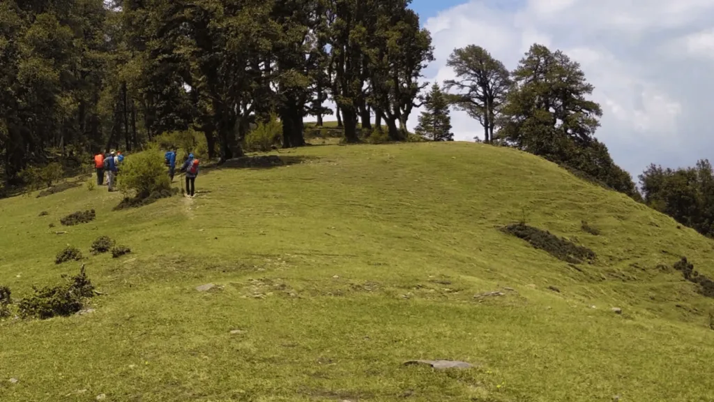
The walk to reach it is the other reason people come. The route climbs from the road head at Wan through oak and rhododendron, breaks out onto the Bedni Bugyal and Ali Bugyal meadows, which are among the largest high-altitude grasslands in the Indian Himalaya, and then crosses the rocky, exposed stretch to Bhagwabasa before the final climb to the lake. On a clear morning the Trishul, Nanda Ghunti and Nanda Devi walls fill the skyline for most of the upper half of the trek.
This is a genuinely hard trek rather than a hard-sounding one. The altitude gain is fast, the Bhagwabasa to Roopkund day is long and starts before dawn, and the descent from the lake is steep and loose. It is not a first Himalayan trek, and it is not a trek to attempt without a buffer day for acclimatisation.
Day one is the drive from Kathgodam up through Almora and Kausani to Lohajung, a small road-head town on the Nandakini river at around 2,300 metres. The road is long and winding and the afternoon is spent settling in. Day two is a short transfer to Wan and then a walk of four to five hours through oak, bamboo and rhododendron to the village of Ghairoli, where the first camp sits in a clearing above the Nandakini valley. Day three climbs steadily to Ali Bugyal and then traverses to Bedni Bugyal, a broad open meadow at roughly 3,350 metres with the Trishul massif directly ahead. Day four is the acclimatisation day, walked as a short climb to the Bedni top and back, which is where most people first feel the altitude properly. Day five crosses to Patar Nachauni and then climbs to Bhagwabasa at around 4,100 metres, a camp of stone shelters on bare ground with no tree cover and a reputation for wind. Day six is the summit day: a pre-dawn start, a climb of three to four hours to the lake, an hour at the shoreline, and a long descent back to Bedni or Ghairoli depending on the group’s pace. Days seven and eight reverse the route to Lohajung and drive back to Kathgodam.
The Roopkund trek suits trekkers who have already done at least one Himalayan trek of five days or more and know how their body behaves above 4,000 metres. The daily walking is six to eight hours on the upper days, the summit day is ten to twelve hours, and the terrain includes loose scree, boulder fields and a long exposed traverse. Anyone with knee trouble should think carefully about the descent from Bhagwabasa, which is the hardest part of the trek for most people. It is a poor choice for a first trek, for children, or for anyone who has not tested themselves at altitude.
The price of Rs 14,500 per person covers 7 nights accommodation in alpine tents on twin and triple sharing, plus 1 night in a guesthouse at lohajung, and the rest of what is listed below. GST at 5%, insurance, and anything not listed under inclusions are extra.
May to June and September to October. In May and June the meadows are green and the lake is usually partly thawed, though afternoon cloud builds early. September and October give the clearest mountain views and the most stable weather, with cold nights. The trek does not run in July and August because of the monsoon, and the road to Lohajung and the upper trail are closed by snow from roughly December to March.
It is graded Difficult. The lake sits at 5,029 metres, the camp at Bhagwabasa is at about 4,100 metres, and the summit day is ten to twelve hours of walking. The altitude is the real difficulty rather than the technical terrain: there is no climbing, but there is a lot of scree, boulder-hopping and a long exposed traverse. Trekkers should have done at least one five-day Himalayan trek before attempting it.
You should be able to walk six to eight hours a day with a light daypack for a week, and climb 800 to 1,000 metres of ascent in a day without stopping constantly. A sensible preparation is three months of regular running or cycling plus weekend hill walks with a pack. Being strong helps, but arriving rested and hydrated matters just as much at this altitude.
Yes. Groups are capped at 15 and everyone camps together, so solo trekkers are in the same tent rotation and the same dining tent as everyone else. The fixed departure format means you do not need to find a partner to book. Couples and small friend groups also fit comfortably.
Seven nights in alpine tents on twin and triple sharing, plus one night in a guesthouse at Lohajung at the start and one at the end. Dining tent, kitchen tent and toilet tents are set up at every camp. There is no electricity at the camps above Ghairoli, and no showers beyond Lohajung.
There is patchy coverage at Lohajung and Wan and effectively none from Ghairoli upwards, so plan to be offline for five days. Forest permits and camping fees for the Nandakini and Roopkund ranges are arranged by the operator and are included in the price; you do not need to apply separately. Carry a government photo ID for the permit paperwork.
Explore related pages: All treks in Uttarakhand · Browse all destinations · All activities · Roopkund destination guide · Trekking in India.
Photo credits. Photographs on this page are from Wikimedia Commons and are used under the licences listed below. Each image is credited to its photographer; the licence terms apply to reuse of the image.

A pilgrimage-turned-trek to the source of the Ganga at the snout of the Gangotri Glacier, ending on a…
A short winter classic to one of Uttarakhand's largest and most pristine high-altitude meadows, framed by Bandarpoonch and…
A winter wonderland trek to a sacred frozen lake, framed by uninterrupted views of Mt. Trishul and Nanda…