
Easy

Guru Shikhar Trek
A short climb to the highest point of the Aravalli range, India's oldest mountains, topped by a small…
Next Departure
30/11/2026
25 seats left
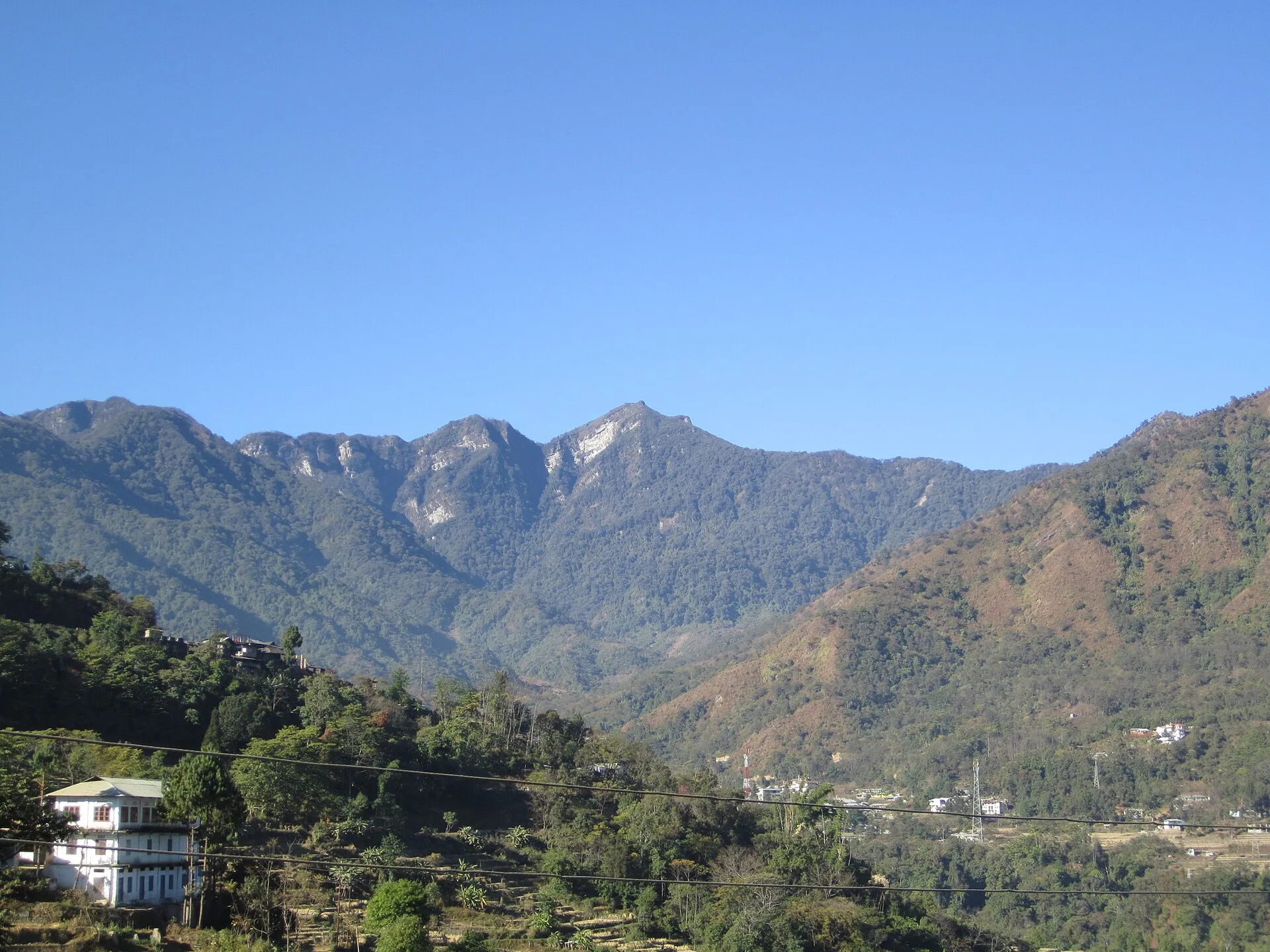
The Japfu Peak Trek is a 3-day, 2-night moderate trek in Nagaland priced from Rs 6,800 per person, running Kohima to Viswema, up through Dzukou’s rhododendron forest to the Japfu summit and back.
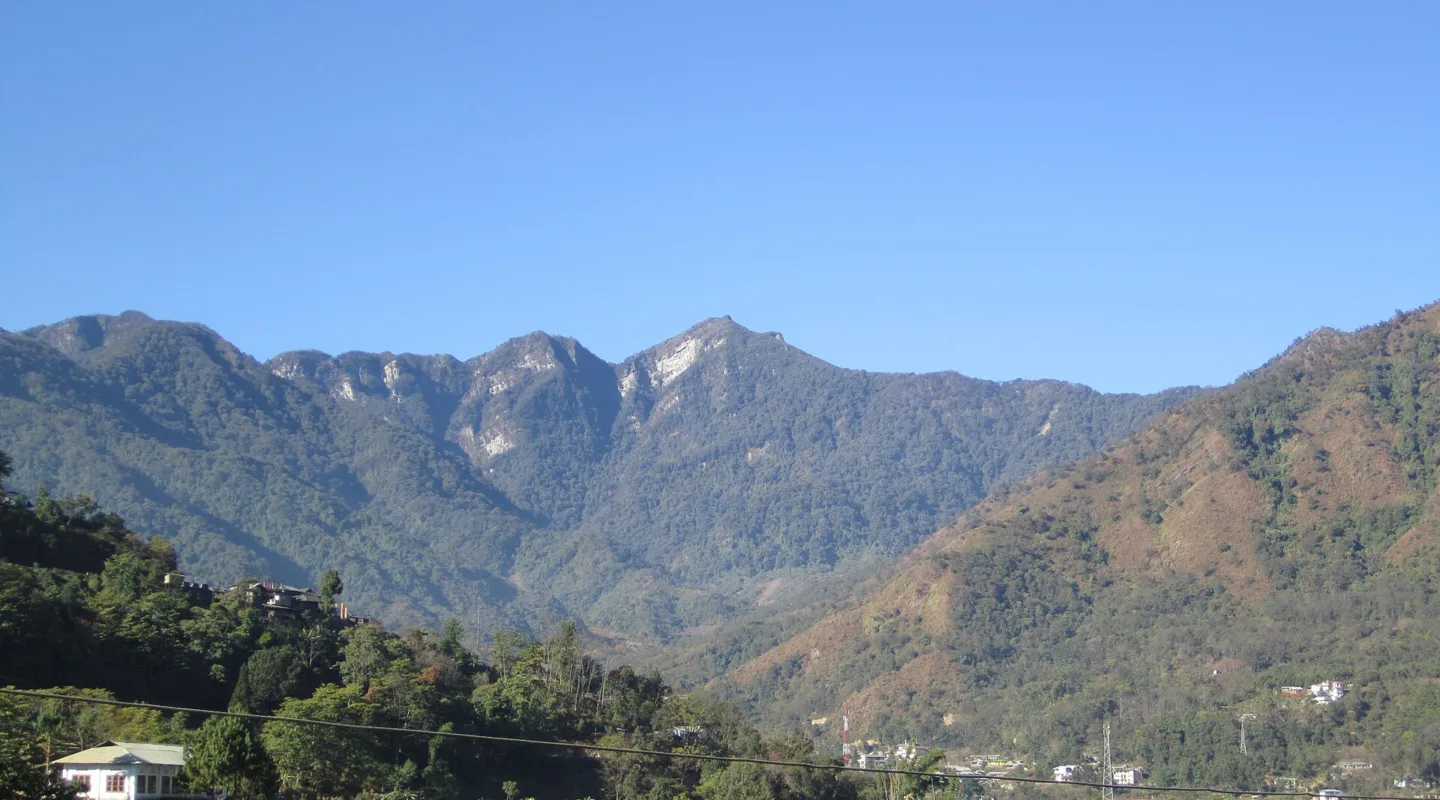
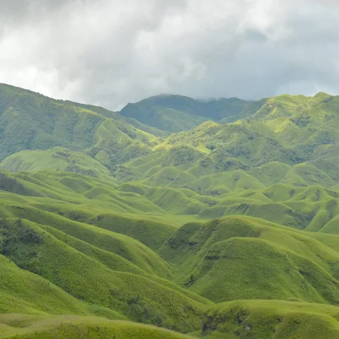
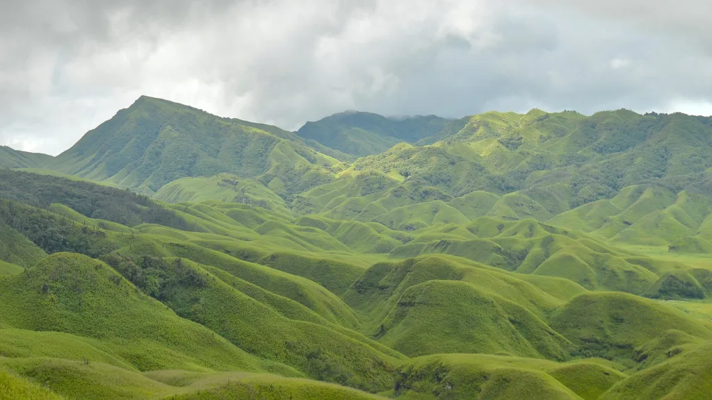
Japfu is the second-highest mountain in Nagaland, and the walk to its top is short in distance but not in character. The trail leaves the Angami village of Viswema, threads through the bamboo and rhododendron that screen the approach to the Dzukou Valley, and only opens out in the last stretch above the treeline. From the summit block you look down on the whole of the Dzukou basin on one side and across a run of blue ridges toward the Saramati range on the other.
The mountain sits in the Barail group, a fold of the eastern Himalaya that runs along the Nagaland-Manipur border. Its height is usually given as 3,048 m, though local signage and most trekking operators quote 3,100 m; either way it stands roughly 1,600 m above Kohima, which is what gives the climb its bite. The upper forest is thick with Rhododendron arboreum, and in March and April the ridge turns red with it.
This is not a trek of big views all day. The first hours are enclosed, humid and quiet, and the reward is concentrated at the top. That shape suits people who are happy to walk in forest for a morning to earn a sunrise.
For the wider region, see our Nagaland destination hub and the full destination index.
The usual start is Viswema, about 22 km south of Kohima on the Dimapur road, at roughly 1,600 m. From the village the trail climbs steadily through terraced fields and then secondary forest. There is a Forest Department rest point partway up where groups often break for lunch.
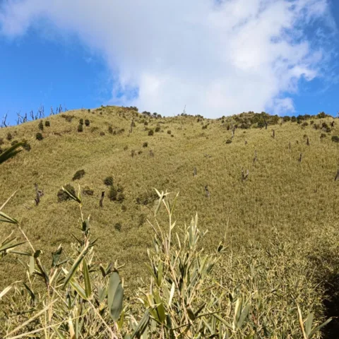
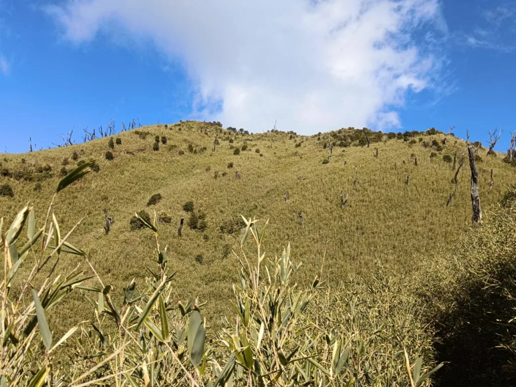
Above the rest point the path steepens and the bamboo closes in. This is the section that holds water after rain, and it is the reason the trek is rated moderate rather than easy. The final 150 m or so breaks out of the treeline onto open grass, and the summit itself is a small rocky platform with a survey marker.
Descent is by the same route. Most groups walk down to Viswema and drive back to Kohima the same afternoon, which is why the itinerary below keeps the third day light.
The trek suits fit first-timers who want a genuine summit rather than a viewpoint, and photographers willing to start at 2 am for the sunrise. It does not suit anyone looking for a gentle valley walk — the gradient is relentless for the middle four hours, and the descent is hard on knees.
Because the summit is only 3,100 m there is no real altitude risk, which makes it a reasonable introduction to hill walking in the northeast. Groups are kept small at 12 because the forest trail is single-track and the summit platform is small.
October to April is the reliable window. Skies are clearest from November to February, and March to April brings the rhododendron bloom on the upper ridge. The monsoon from June to September makes the bamboo section slippery and the summit is usually clouded, so we do not run departures then.
The summit is 3,100 m, about 1,500 m above Viswema. At that height altitude sickness is very unlikely for a healthy trekker, but the climb is steep and the air is thinner than at Kohima. We walk at a controlled pace and the leader carries a pulse oximeter.
You should be able to walk 5 to 6 hours uphill with a day pack. The gradient is continuous rather than technical, so stamina matters more than experience. If you can complete a 10 km hill walk in under three hours you will manage comfortably.
Yes. Solo travellers join a small group and share twin accommodation; a single supplement is available on request. We do not send anyone up unguided because the upper trail is unmarked in places and the Forest Department requires a registered local guide.
Night one is in tents at the Forest Department rest camp, with sleeping mats provided and shared toilet tents. Night two is a hotel in Kohima on twin sharing with attached bathrooms. Sleeping bags are not provided and should be carried.
Kohima and Viswema have reliable 4G on most Indian networks. Signal drops out above the rest camp and there is none at the summit. Treat the mountain as offline and download your maps and tickets before leaving Kohima.
At Rs 6,800 for three days the Japfu trek sits in the middle of our 3-day band, and the cost is driven by two things that are specific to Nagaland. The first is transport: Kohima to Viswema is only 22 km, but every group needs a vehicle on standby for the return, and the road is slow. The second is the guide. The Forest Department requires a registered local guide for the upper trail, and Angami guides from Viswema charge more than guides on the mainland circuits because there are far fewer of them.
What you are not paying for is altitude infrastructure. There is no oxygen, no high-altitude porters and no expedition permit, because 3,100 m does not require any of it. That is why a genuine summit in Nagaland costs less than a four-day trek in Himachal.
November to February gives the clearest skies and the best chance of a sunrise from the top. It is also the coldest — expect close to freezing at the summit before dawn, and the camp at the rest point is chilly. March and April are warmer and the rhododendron is out, but cloud builds earlier in the day and the sunrise is less reliable.
We do not run the trek from June to September. The bamboo section above the rest camp holds water badly, the leeches are active, and the summit is usually inside cloud. October is a transition month: the monsoon has gone but the forest is still wet, so expect mud and carry gaiters.
The numbers are modest — about 6 km up and 6 km down, with 1,500 m of gain. What makes it feel harder than the distance suggests is the surface. Below the rest camp the trail is packed earth and stone steps; above it, the path is bamboo roots and loose soil, and it stays wet for days after rain.
The descent is the part people underestimate. It is steep, it is slippery, and it comes after a 2 am start. Trekking poles are worth carrying even if you never use them at home. Budget 4 to 5 hours down, not 3.
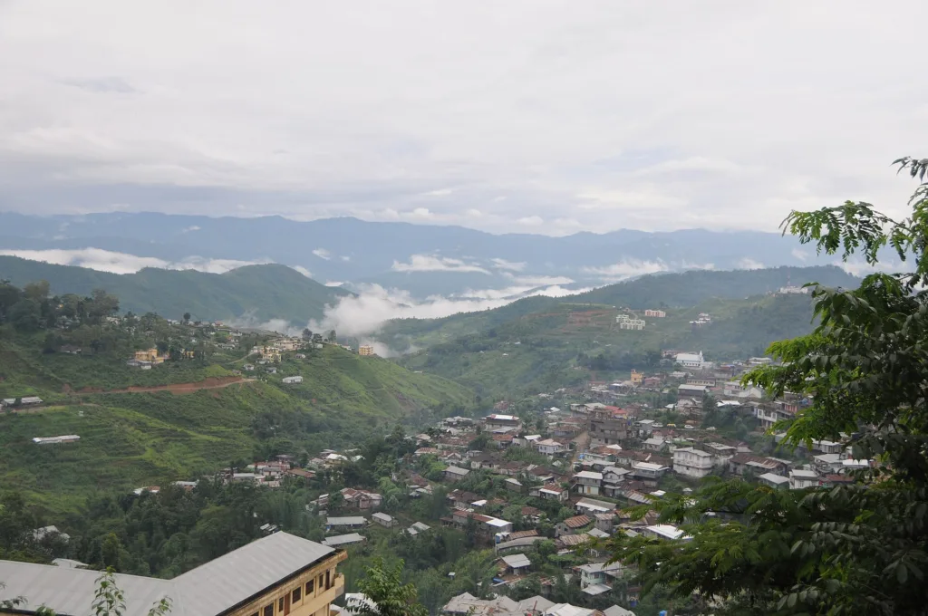
Viswema is one of the largest and oldest Angami villages in the Kohima area, and the trailhead sits at the edge of it. The Angami are one of the major Naga groups, and the terraced fields you climb through on the first hour are still worked. Kigwema, the other common trailhead, is a short drive away and is where many trekking groups base themselves.
The villages are not a backdrop. Ask before photographing people or the village gates, and expect to be asked for a small contribution if you want to enter a morung or a traditional house. The Hornbill Festival in early December, held at Kisama near Kohima, is the single best reason to schedule this trek in the first week of that month.
Start with the Nagaland destination hub, browse the full destination index and our activities pages, then compare this route with the rest of our trekking collection.
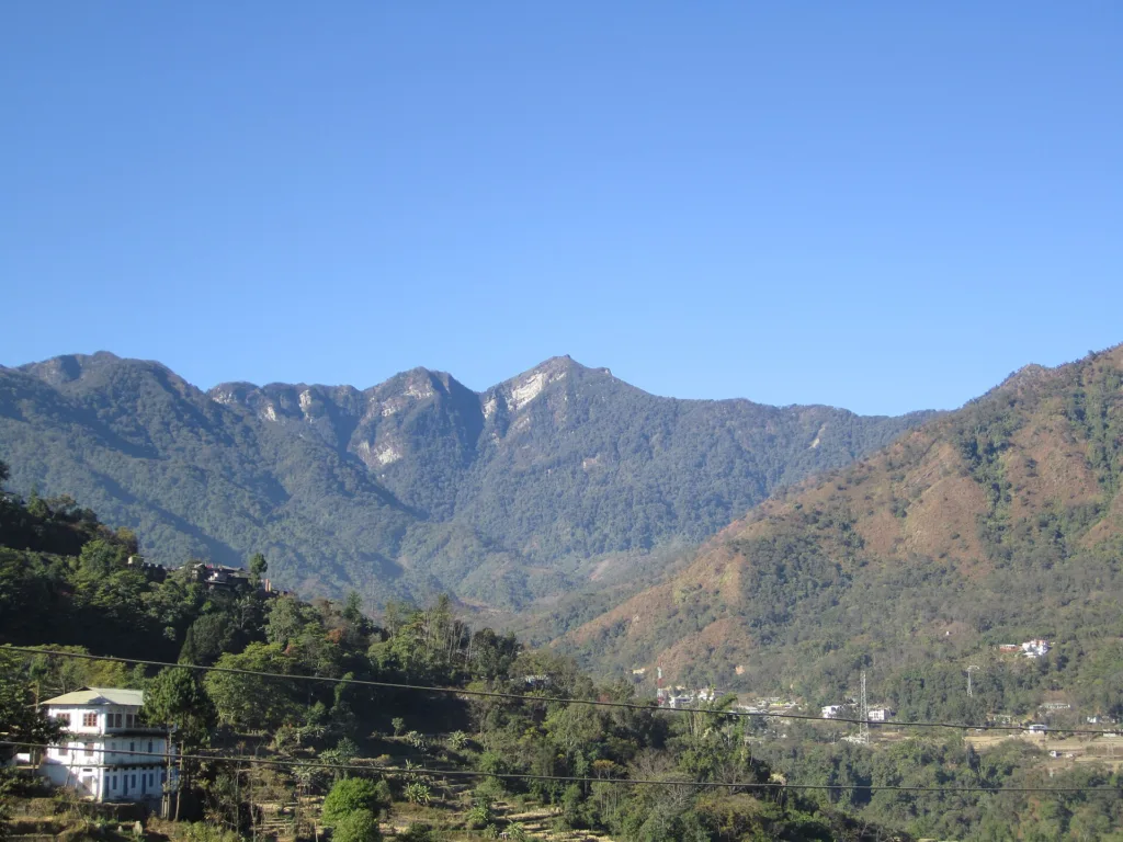
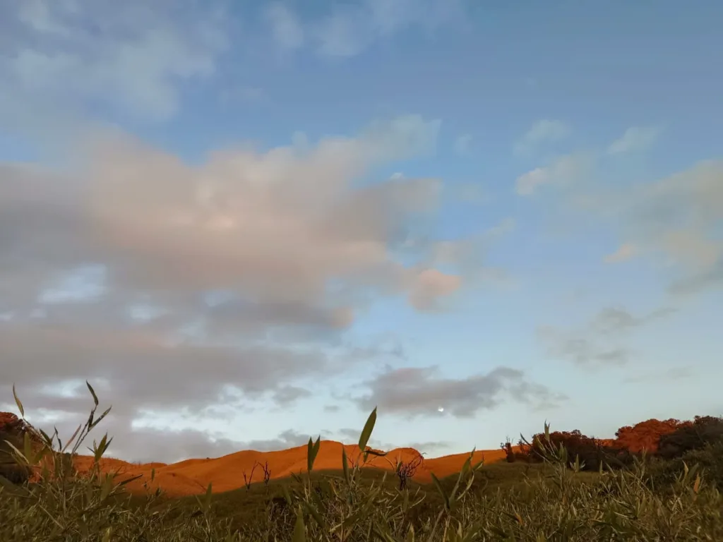
Photographs on this page are licensed from Wikimedia Commons. Full attribution and licence for each image is listed below.
A short climb to the highest point of the Aravalli range, India's oldest mountains, topped by a small…
A two-day, one-night Triund trek from McLeodganj with camping on the ridge, Dhauladhar views, a bonfire dinner and…
A remote Kumaon expedition to the base of five sacred peaks said to mark the Pandavas' final cooking…