
Moderate
Anamudi Peak Trek
Anamudi peak trek in Munnar, Kerala, 3D/2N. Eravikulam National Park, Rajamala and the 2,695 m summit of South…
Next Departure
20/11/2026
12 seats left
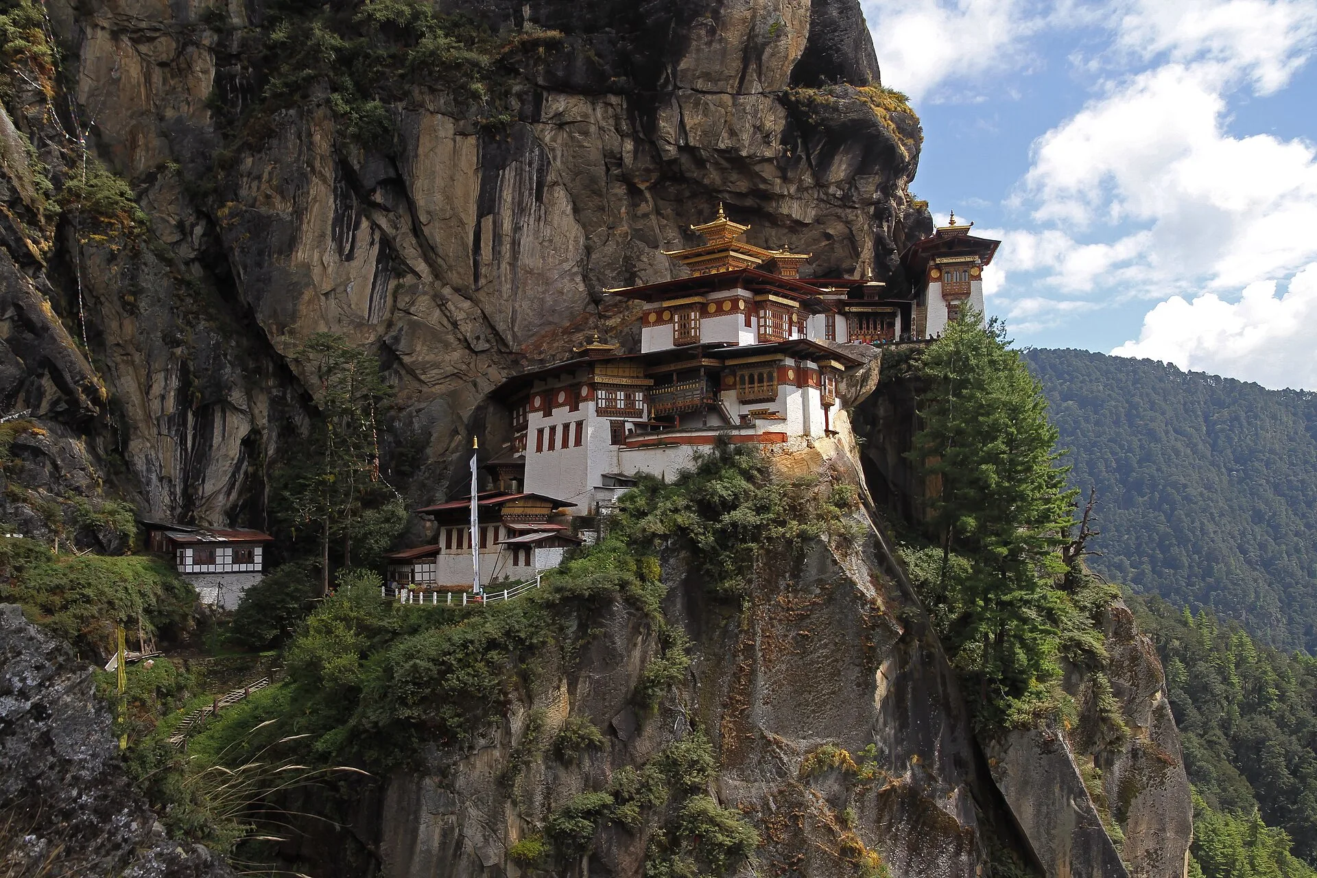
The Druk Path Trek is a 7-day, 6-night moderate trek in Bhutan priced from Rs 21,000 per person, running Paro to Jele Dzong, Jangchulakha, Jimilang Tsho and Phajoding, finishing in Thimphu.
The Druk Path is the old high route between Paro and Thimphu, walked for centuries before there was a road between the two valleys. It is a seven-day trip with four and a half days of walking, crossing a ridge of the Bhutan Himalaya at the Labana Pass, 4,235 m, and passing a chain of high lakes where brown trout were introduced in the last century.
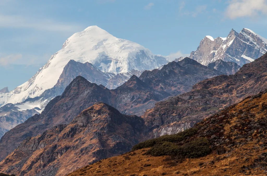
What makes it unusual among Himalayan treks is the combination: you start among blue pine and dwarf rhododendron, climb to bare rock and alpine pasture, and finish at Phajoding, a working monastery complex on a ridge above Thimphu. On a clear day the whole northern wall of Bhutan is visible, with Jomolhari at 7,326 m dominating the skyline.
Bhutan requires all trekkers to travel with a licensed guide and to pay the Sustainable Development Fee, both of which are included here. The trek is rated moderate: the distances are not long, but the first day climbs more than 1,000 m and you spend two nights above 3,800 m.
For the wider region, see our Bhutan destination hub and the full destination index.
The walk begins at the National Museum above Paro, at about 2,280 m, and climbs through pine forest to Jele Dzong at 3,480 m — a 1,000 m gain on the first day, which is the hardest single climb of the trek. Jele Dzong is a small 15th-century temple with a view down the Paro valley.
Day two follows a ridge through rhododendron to Jangchulakha at 3,780 m. Day three drops and climbs to Jimilang Tsho, a lake at 3,870 m, where the campsite sits on the shore. Day four crosses the Labana Pass at 4,235 m and descends to Simkota at 4,110 m.
The final walking day descends past the Phajoding monastery at 3,870 m and then drops steeply through forest to Thimphu at 2,320 m. The descent is long — about 1,500 m — and hard on the knees, which is worth knowing before you start.
The Druk Path suits trekkers with some hill experience who want a short, high, culturally rich route rather than a long expedition. It is a good choice for anyone combining a trek with sightseeing in Paro and Thimphu, since both ends of the route are the two main towns.
It does not suit complete beginners. Two nights above 3,800 m and a 1,000 m first-day climb mean you should arrive fit. It is also not a trek for anyone on a tight budget — Bhutan’s SDF applies regardless of how you travel.
March to May and September to November. Spring brings the rhododendron bloom on the ridge and autumn gives the clearest mountain views. Winter is possible but very cold at the high camps, and the monsoon from June to August brings cloud, leeches and slippery descents.
The high point is the Labana Pass at 4,235 m, and you sleep at 3,780 m, 3,870 m and 4,110 m on consecutive nights. That is high enough for mild altitude symptoms to be common. The itinerary climbs gradually and the guide carries an oxygen cylinder, but you should discuss Diamox with your doctor before travelling.
You should be comfortable walking 5 to 6 hours a day for four consecutive days with a day pack, including a 1,000 m climb on day two. The distances are modest — 10 to 15 km a day — but the altitude makes them feel longer. Arrive with a base of regular cardio.
You can travel solo, but Bhutan does not permit independent trekking. Every trekker must be accompanied by a licensed Bhutanese guide, and the Sustainable Development Fee applies per person per night. Solo travellers join a small group of up to 10.
Four nights are in expedition tents with sleeping mats provided, and two nights are in a hotel in Paro and Thimphu on twin sharing. Camps have dining tents and shared toilet tents. There are no lodges on the route itself.
Signal is reliable in Paro and Thimphu but drops out on the ridge, and there is none at the high camps. Bhutan has good 4G coverage in the valleys. Treat the four walking days as offline.
Rs 21,000 for seven days looks high against an Indian Himalayan trek of the same length, and the reason is almost entirely the Bhutanese Sustainable Development Fee. The SDF is charged per person per night and applies to every visitor regardless of how they travel. It is included in our price, along with visa processing.
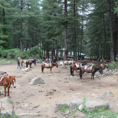
Beyond the SDF, you are paying for a licensed Bhutanese guide, a cook, ponies and handlers, and camping equipment — all of which are mandatory rather than optional in Bhutan. Independent trekking is not permitted, so there is no cheaper self-guided version of this route.
March to May and September to November are the two windows. Spring brings rhododendron on the ridge between Jele Dzong and Jangchulakha, and autumn gives the clearest views of Jomolhari and the northern wall. Both are also the busiest months in Bhutan, so book flights and hotels early.
Winter is possible — the route is sometimes walked in January — but the high camps at 3,870 m and 4,110 m are well below freezing and snow can close the Labana Pass. The monsoon from June to August brings cloud, leeches on the forest sections and a slippery final descent.
The distances are modest: 10 to 15 km a day over four and a half walking days. What makes it moderate rather than easy is the shape of the route. Day two climbs 1,000 m from the trailhead to Jele Dzong, and you then sleep at 3,780 m, 3,870 m and 4,110 m on three consecutive nights.
The final day is the other sting: a descent of about 1,500 m from Phajoding to the Thimphu road, which is hard on knees and takes longer than the distance suggests. Trekking poles earn their place here.
Jele Dzong, at 3,480 m, is a small 15th-century temple on the ridge above Paro, founded by a descendant of the Tibetan lama Phajo Drugom Zhigpo. It is unmanned for much of the year and the view down the Paro valley is the reason most groups camp nearby.
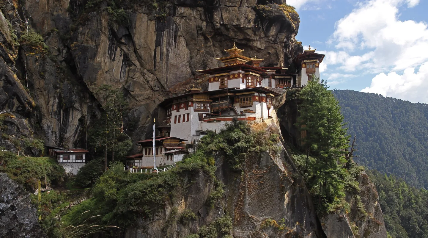
Phajoding, near the end of the route, is a working monastery complex of several temples and retreat huts on a ridge at 3,870 m above Thimphu. It is an active religious site, not a ruin, and the monks are used to trekkers passing through — but dress and behave accordingly. The descent from Phajoding to the road head is steep and shaded, and it is the last real walking of the trek.
Start with the Bhutan destination hub, browse the full destination index and our activities pages, then compare this route with the rest of our trekking collection.
Photographs on this page are licensed from Wikimedia Commons. Full attribution and licence for each image is listed below.
Anamudi peak trek in Munnar, Kerala, 3D/2N. Eravikulam National Park, Rajamala and the 2,695 m summit of South…
Makalidurga Trek Makalidurga is a popular trekking destination for several reasons. Its proximity to Bangalore, stunning landscape, and…
Mcleodganj Triund Trek If you're seeking an enchanting trek in the heart of Himachal Pradesh, the McLeodganj Triund…

