
Eastern Ghats treks are the quietest walking in India, and late November is the month they finally become comfortable. It is also the month the Bay of Bengal starts throwing cyclones at the same coastline. Both things are true at once, and any honest plan for Odisha and Jharkhand in the next fortnight has to hold them together.
As I write this, the IMD has Cyclone Akvan crossing the Andhra Pradesh and Yanam coast around noon on 20 November as a very severe cyclonic storm, with sustained winds of 120 to 130 km/h gusting to 145. The Odisha districts under orange alert for that day include Koraput, Malkangiri, Gajapati, Ganjam and Rayagada. Koraput is where Deomali sits. That is not a reason to cancel a trek; it is a reason to book the week after, not the week of.
Why Eastern Ghats treks work in late November
The Eastern Ghats are older, lower and far less visited than the Himalaya. They run down the eastern edge of the peninsula through Odisha, Chhattisgarh and into Andhra, and the walking is forest track and grassland rather than rock and scree. Nothing here goes above 1,700 metres, so there is no altitude to acclimatise to and no snow season to work around.
What late November gives you is the end of the monsoon humidity without the winter cold of the north. Daytime temperatures sit in the mid-twenties, the forest is still green from the rains, and the waterfalls that define this belt are still running. By February the same falls are a trickle over bare rock.
The three Eastern Ghats treks worth comparing
These are the three we run in this belt, and they are genuinely different trips rather than variations on one.
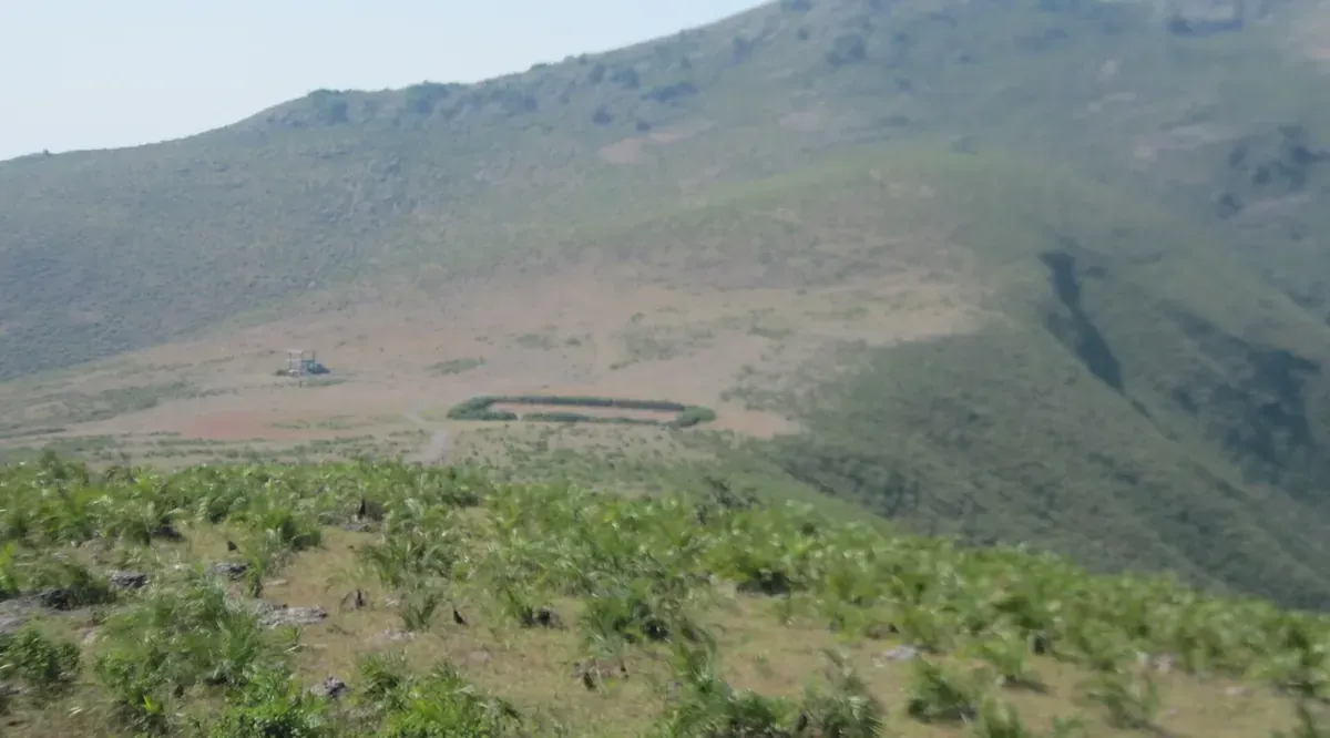
Deomali Peak, Koraput
Deomali is the highest point in Odisha at 1,672 metres, in Koraput district near the Andhra border. The trail from the road near Semiliguda climbs through forest and then open grass to a broad summit shoulder, two to three hours up. It is graded Easy, runs three days from Bhubaneswar at Rs 5,600, and the real reward is the birdlife: hornbills, barbets, bulbuls and a long list of raptors, plus the occasional elephant moving through the corridor below.
The district is also one of the most culturally distinct in India, home to Kondh, Bonda, Gadaba and Paroja communities. The weekly markets at Onukadelli and Kunduli are among the few places the Bonda still come down to trade. Any visit should be arranged with a local guide and with the understanding that people are not an attraction.
Netarhat, Latehar
Netarhat sits on a laterite plateau in Latehar district at roughly 1,100 metres, a hill station since the British built a summer retreat here in the 1870s. The trek is graded Moderate, runs three days from Ranchi at Rs 6,800, and is built around two days of walking on the plateau rim and down into the Burha river gorge.
Lodh Falls is the reason most people come. The Burha drops about 143 metres in two channels, the highest waterfall in Jharkhand. The descent to the base is steep and rough and the last stretch is over wet rock, which is why this one is graded moderate despite the modest altitude.
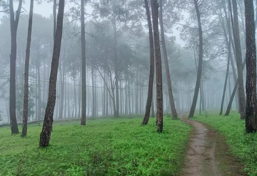
Chitrakote Falls, Bastar
Chitrakote is a single geological fact: the Indravati river spreads across a horseshoe lip of basalt and drops about 29 metres in three channels. In the monsoon the combined width reaches roughly 300 metres, which makes it the widest waterfall in India. By late November it has narrowed to separate columns over bare rock, and the rock itself becomes the attraction.
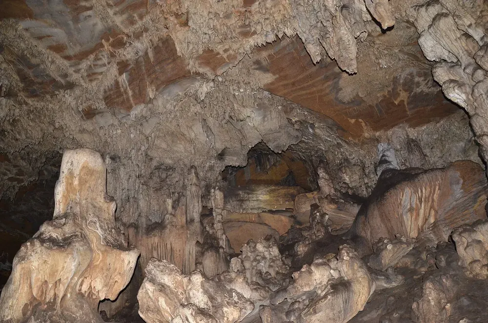
The trip is graded Easy, runs four days from Raipur at Rs 9,200, and pairs the falls with Tirathgarh inside Kanger Valley National Park and the Kutumsar limestone cave system, entered on a guided walk with a resident population of blind cave fish.
Eastern Ghats treks compared
| Trek | State | Duration | Grade | High point | From |
|---|---|---|---|---|---|
| Deomali Peak | Odisha | 3 days | Easy | 1,672 m | Rs 5,600 |
| Netarhat | Jharkhand | 3 days | Moderate | 1,100 m | Rs 6,800 |
| Chitrakote Falls | Chhattisgarh | 4 days | Easy | 600 m | Rs 9,200 |
If you want a summit, take the Deomali Peak trek. If you want the waterfall and the gorge, take the Netarhat trek. If you want the biggest water in the country and a cave system, take the Chitrakote Falls trek.
What is not good about the Eastern Ghats in late November
This is the part that matters more than the itinerary.
The cyclone risk is real and it is not theoretical. The Bay of Bengal produced three named systems in three weeks this November. Akvan is forecast to cross the coast on 20 November with winds gusting to 145 km/h, and Koraput, Malkangiri, Gajapati, Ganjam and Rayagada are all under orange alert. Roads in the Koraput belt close when the Machkund and Indravati run high, and a trek booked for that week can lose a day to a washed-out highway.
The waterfalls are already thinning. Chitrakote at 300 metres wide is a monsoon photograph. In late November you get three separate columns and a lot of bare basalt.
The drives are long. Bhubaneswar to Koraput is seven to eight hours on NH-26. Raipur to Jagdalpur is about 300 kilometres. Ranchi to Netarhat is 155 kilometres. These are road trips with walking in them, not walking trips.
Lunch is not included on day one and day three of the Deomali trek, and GST at 5% and insurance are extra on all three. The Deomali price covers two nights on twin sharing, one in Koraput and one in a guesthouse at Pottangi.
Mobile coverage is patchy on the plateau and in the Koraput forest, and there are leeches on the Netarhat descent while the ground is still wet.
How to plan around the weather
Book the last week of November or the first week of December rather than the 20 November landfall window. Check the IMD bulletin for the Odisha districts in the three days before departure, and treat an orange alert in Koraput or Rayagada as a reason to move the date rather than push through.
Carry a light rain shell even in a dry forecast, long trousers and sleeves for the forest and insects, and trainers or light trekking shoes rather than boots, since the ground is forest path and grass. Our high-altitude packing guide is written for colder trips, but the layering advice holds.
If you are comparing this belt against the western side of the country in the same month, our guide to the Girnar Lili Parikrama and the 9,999-step climb covers the Gujarat alternative, and the guide to choosing trek difficulty explains what Easy and Moderate actually mean on our grading.
Frequently asked questions about Eastern Ghats treks
What is the highest point in the Eastern Ghats on these treks?
Deomali at 1,672 metres, the highest point in Odisha. Netarhat sits at about 1,100 metres and the Chitrakote walking is at around 600 metres.
Is late November a good time for Eastern Ghats treks?
Yes, for temperature and green forest, but it is also peak cyclone season on the Odisha and Andhra coast. Book the last week of November or early December and watch the IMD bulletins.
How much do Eastern Ghats treks cost?
Rs 5,600 for Deomali over three days, Rs 6,800 for Netarhat over three days, and Rs 9,200 for Chitrakote over four days. GST at 5% and insurance are extra on all three.
Are these treks suitable for beginners?
Deomali and Chitrakote are graded Easy and suit first-timers. Netarhat is Moderate because of the steep, wet descent to Lodh Falls, not because of distance or altitude.
Do I need a permit for the Eastern Ghats treks?
Forest entry permits are included in the Netarhat and Chitrakote prices, and the Kanger Valley cave walk is guided and included. Carry a government photo ID in original.
Can I combine two of these treks in one trip?
Not comfortably. Koraput, Latehar and Jagdalpur are in three different states with long road transfers between them. Pick one and give it the full itinerary.
