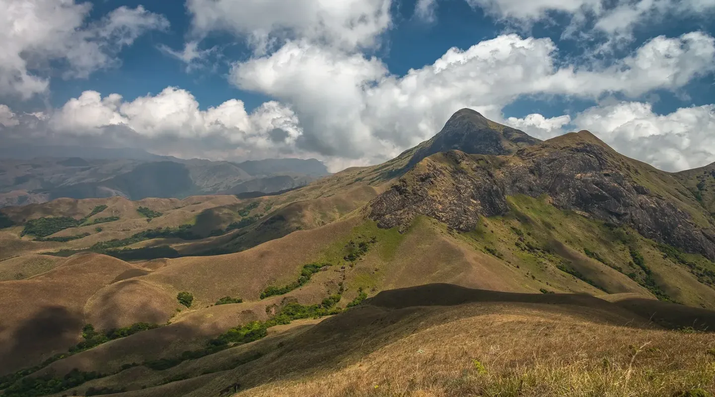

Most trekking advice about India in November points north, towards the first snow. The Kerala high ranges treks are the opposite proposition: November is when the southern Western Ghats get their second monsoon, and the honest question is not whether it will rain but whether the rain ruins the walk. For three of the routes we run — Anamudi, Mukurthi and Chembra Peak — the answer is more interesting than a simple yes or no.
This guide covers what those three treks are, what they cost, and what the northeast monsoon does to each — written for people who would rather know the trade-off than be sold a brochure.
What the northeast monsoon does to Kerala high ranges treks
Kerala has two monsoons. The southwest monsoon runs June to September and is the one everyone knows about — heavy, sustained, and the reason the hills are this green. The northeast monsoon is the second, and it arrives in October and November. It behaves completely differently: short, sharp afternoon and evening spells rather than all-day rain, and it weakens from north to south as the month goes on.
The numbers matter here. Munnar in November averages around 80 mm of rain across roughly seven rainy days, with daytime highs near 21°C and overnight lows around 11°C. Compare that with July, when the same hills take 380 mm across 23 days. November is not the monsoon. It is the tail of it, and the tail is walkable.
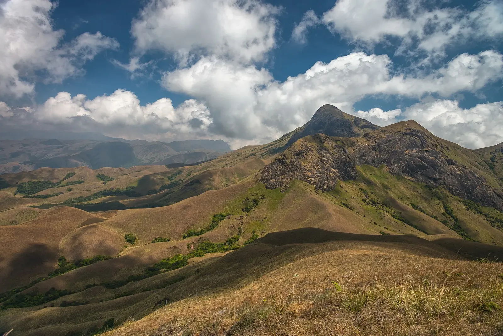
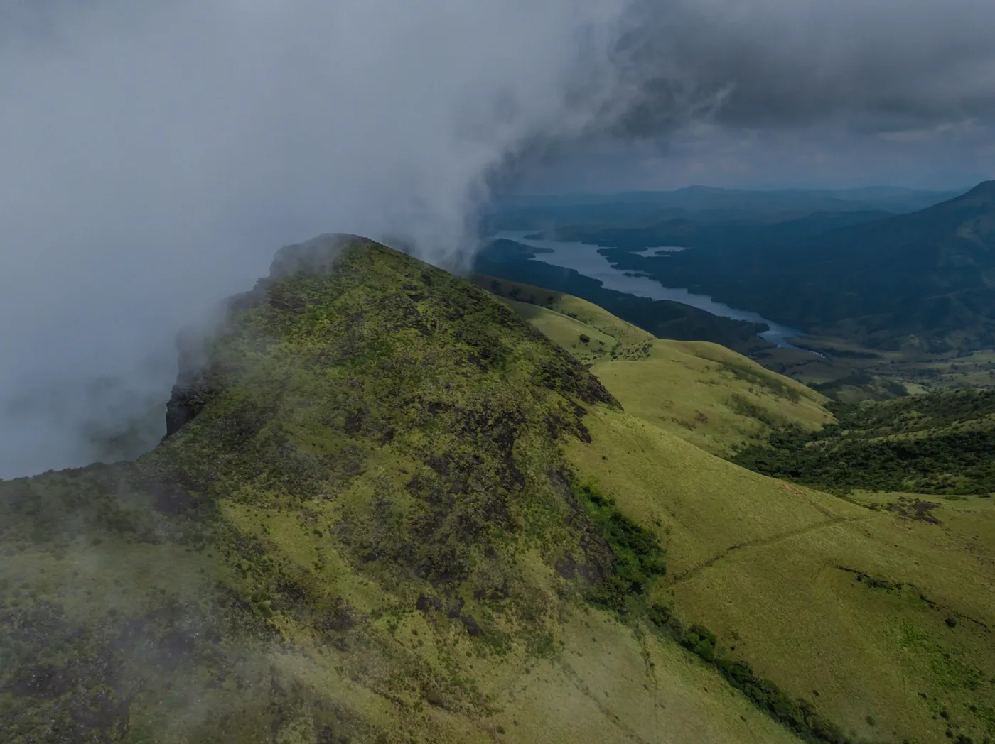
In practice: mornings are usually clear, the light is good, and the grassland is at its greenest. The risk is concentrated in the afternoon — slippery ground and reduced visibility rather than being rained on all day. Trails near Eravikulam can turn hazardous within about 48 hours of sustained heavy rain, which is why the forest department’s access rules exist and why we follow them.
The three Kerala high ranges treks we run
Anamudi Peak Trek — the highest ground in southern India
Anamudi is 2,695 m, the highest point in India south of the Himalaya, standing inside Eravikulam National Park above Munnar in Idukki district. The name means “elephant’s forehead” in Malayalam, and from the Munnar side the massif does have that shape — a broad grassy dome with a long ridge running south off it.
We run it as three days and two nights from Kochi, graded Moderate, from Rs 6,800 per person, with a maximum of twelve. The route is Kochi – Munnar – Rajamala – Eravikulam – Anamudi base – Munnar – Kochi. The mountain sits at the centre of the range that holds most of South India’s remaining shola-grassland mosaic, a habitat that exists only above roughly 1,800 m in the Western Ghats and nowhere else on earth. The grassland is not lawn — it is a climax community maintained by frost, grazing and fire, and it looks like nothing else in the country.
Mukurthi Peak Trek — the tahr’s mountain
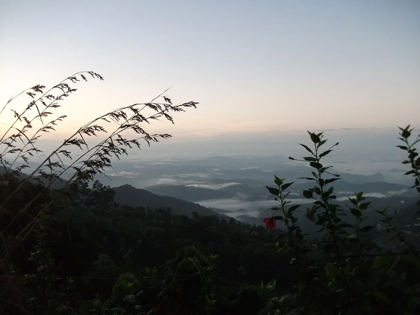
Mukurthi sits inside Mukurthi National Park, a small but ecologically vital protected area in the Nilgiris established specifically to safeguard the Nilgiri tahr — a wild mountain goat found only in the higher reaches of the southern Western Ghats, and one of India’s most endangered large mammals. Trekking here is inseparable from that purpose. Access is tightly regulated, group sizes are capped, and guides are trained to minimise disturbance to a species whose entire remaining habitat is a handful of high-altitude grassland patches across Tamil Nadu and Kerala.
It runs two days, graded Moderate, from Rs 3,800 per person, maximum fifteen. If you have already walked the Western Ghats further north and want to see the range’s ecology at its most protected, this is the one.
Chembra Peak Trek — the heart-shaped lake
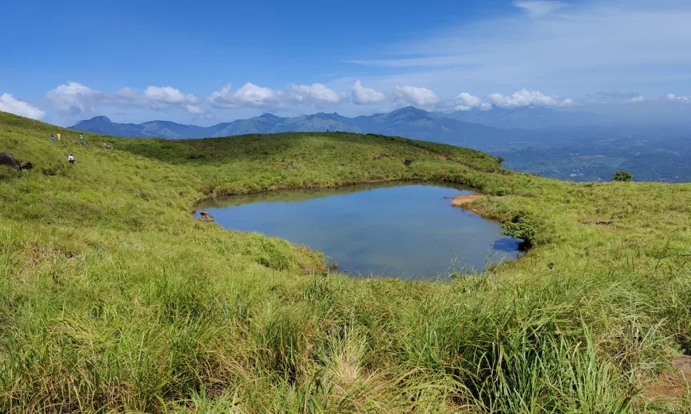
Chembra is the short one: one day, graded Easy, from Rs 2,500 per person, maximum twenty. The draw is the heart-shaped lake on the shoulder of the peak, and the walk up through tea estate and grassland to reach it.
Two things about Chembra matter before you book. Forest department permits are mandatory and arranged in advance, with daily numbers capped — walk-up access without pre-booking is frequently unavailable from October through March. And restrictions currently limit public access to the true summit, a conservation measure protecting the fragile shola-grassland from erosion. You get the lake and the viewpoint short of the summit, not the top.
November in the southern Western Ghats is not a compromise. It is the greenest the grassland gets, with the fewest people on it — provided you accept that the afternoon belongs to the weather, not to your itinerary.
Kerala high ranges treks compared
| Trek | Duration | Grade | High point | From | Group |
|---|---|---|---|---|---|
| Anamudi Peak | 3 days / 2 nights | Moderate | 2,695 m | Rs 6,800 | Max 12 |
| Mukurthi Peak | 2 days | Moderate | 2,554 m | Rs 3,800 | Max 15 |
| Chembra Peak | 1 day | Easy | 2,100 m | Rs 2,500 | Max 20 |
Full itineraries, inclusions and dates are on the individual trek pages: Anamudi Peak trek, Mukurthi Peak trek and Chembra Peak trek.
What is not good about November in the high ranges
The afternoons are unreliable. The northeast monsoon delivers short, sharp spells, usually in the afternoon and evening. That is manageable if you plan to be off exposed ground by early afternoon, and unpleasant if you do not. Start early, every day.
Visibility can vanish fast. Mist on the shola-grassland is not romantic when you are navigating. On Anamudi and Mukurthi the guide’s route knowledge is doing real work in November, and this is not a month for unguided improvisation on interior forest trails.
Permits are the real constraint, not the weather. Chembra caps daily visitors and requires advance forest department permits. Mukurthi caps group size. Eravikulam closes entirely for the Nilgiri tahr calving season in February and March. In November everything is open, which is precisely why the permits fill.
Frequently asked questions
Is November a good time for Kerala high ranges treks?
Yes, with planning. November averages around 80 mm of rain in Munnar across about seven rainy days, mostly as short afternoon spells. Mornings are usually clear and the grassland is at its greenest. Start early and keep the afternoon flexible.
How high is Anamudi and do I need altitude preparation?
Anamudi is 2,695 m — the highest point in India south of the Himalaya, but low enough that altitude illness is uncommon. Fitness and footing matter more than acclimatisation here.
Do I need a permit for Chembra Peak?
Yes. Forest department permits are mandatory, must be arranged in advance, and daily visitor numbers are capped. Walk-up access without pre-booking is frequently unavailable between October and March.
Can I reach the summit of Chembra Peak?
No. Forest department restrictions currently limit public access to the heart-shaped lake and the viewpoint short of the true summit, a conservation measure protecting the shola-grassland from erosion.
Will I see a Nilgiri tahr?
Mukurthi National Park exists to protect them, and Eravikulam holds the largest population. Sightings are common on the grassland, but they are wild animals and nothing is guaranteed.
How does this compare with a Himalayan trek in November?
Completely different. The Himalayas in November mean cold nights and the first snow; the southern Western Ghats mean green grassland and afternoon showers. If you want the northern version, our guide to Uttarakhand winter treks covers that season.
If you are weighing a Himalayan option in the same window instead, our guide to the Druk Path trek in Bhutan covers the last autumn departure before the high passes close.
